- Date: Tuesday July 14, 2015
- Miles hiked: 8.77 PCT
- Miles covered: 1588.47 to 1597.25 PCT
- Weather Report: Low 45, High 66 (on the trail), 88 (in Etna) Mostly cloudy.
- Wildlife seen: Deer
- Mood of the day: Excited yet a little sad
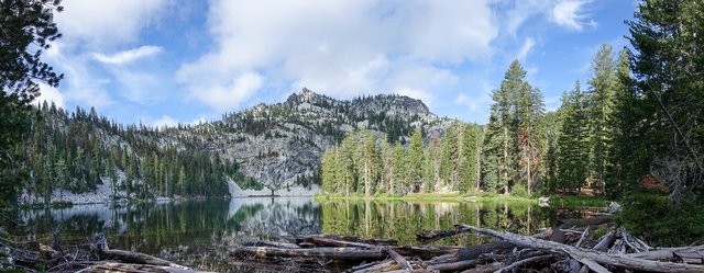
It was a short walk into the small and charming town of Etna today--both Junior and I were excited about getting to the Etna Brewery, and he was eager to meet up with his Mom and sister. We were on the trail just after 7, walking through the very unscenic burnt area, cool and cloudy. After three miles I ran over to Paynes Lake for a picture, then we kept on going.
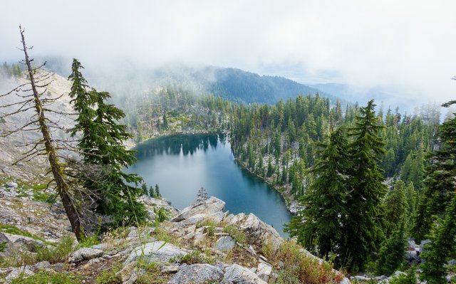
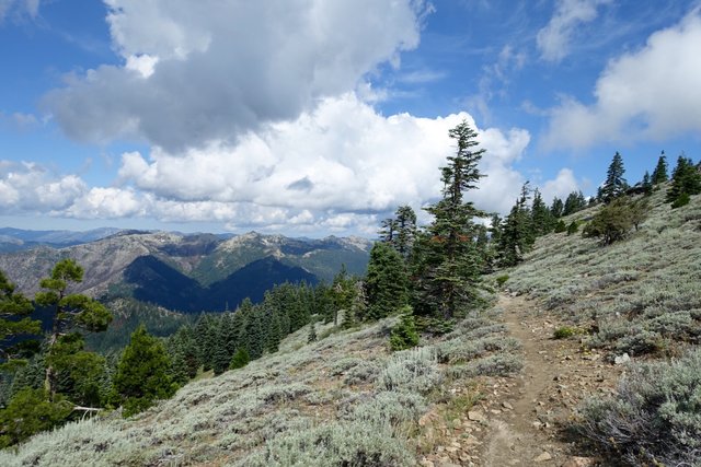
Around 9, though, Junior found that we had cell service, so he confirmed pickup details with his Mom, then we kept on walking down. Both of us were irritated at the trail design, which kept on going up and up... yet we know that the road to Etna is down down, grrrr. We did cross far above an interesting looking lake, then finally the PCT headed down across a sagebrush covered ridge, into the forest, and finally Sawyers Bar Road.
At the road, someone gestured to us, we walked up, he was offering a ride to town. Uh, nope, sorry--Mom is coming!--so he left. A Forest Service crew was out there spotting for lightning strikes and looking for fires, they were a bit bored so we talked a bit. We were both asked "What's your one essential piece of PCT equipment?" and we both responded "Our cell phones". That might make some traditionalists gasp, but it really does ease the trail, with maps and mileage and water reports and everything all there. Sure, you have to take care of it and keep it charged, but it really beats paper maps and reference materials for convenience. You don't have to worry about how many maps you're carrying, you don't have to stress about getting to your next resupply box at the post office before it closes to get your maps, you don't have to rip out some section from some guidebook written eight months ago. No--on your phone you can just have your maps, you can get fairly current information about what water sources are still flowing, you can look on Google Maps to get around trail towns (or put it in Terrain mode to see shaded relief maps!), you can check on Facebook groups or the PCTA for trail closure notices. A cell phone would definitely be on the top of my "Top Ten Modern Backpacking Essentials".
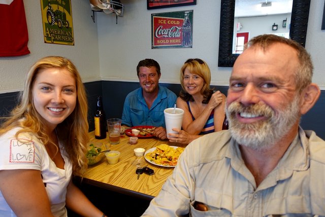
Junior's Mom swept us down to town at 11:30 (yay thanks Laura!); his sister was also along for the road trip, and we drove down into Etna, a small town I've been strangely fascinated by because it's really off the beaten track and green and lush too. It was all of that--a single main street, with a few shops, a grocery store, post office, a few restaurants, and the Etna Brewery... sadly closed on Tuesdays. We settled for a burger at Dotty's, and then Junior donated his unwanted leftover food to me :-) He was definitely feeling sorry for my Clif bar diet.
After lunch, they drove me by the post office and grocery store, and I took my goodies to the Alderbrook Manor Hiker Hut, which I loved--a 4 bed hut with fridge and microwave and shower and laundry and power outlets and wi-fi. What else could a hiker ask for??? Oh yeah, there are also rides to the trailhead. Score! But I didn't get one of the beds, so I camped on the lawn with six other hikers, ah well.
An afternoon of puttering around commenced: laundry, charging gadgets, uploading pictures, sorting out food, then I rode one of the available bicycles (!) to Bob's for some pretty good chicken fetticine alfredo. Back to the hut, I swapped out some charging devices, wrote a bit, and thought about the past few weeks with Junior. It's been a good time, I really enjoy his company, and am a bit sad that I'm now hiking out of here alone.
Tomorrow it's back on the trail--58 miles or so to Seiad Valley, then about the same to Ashland, so I'll call it six days walking. Should be interesting country; the weather will be warming up too, and I've heard Seiad Valley is super-hot when it gets warm. I'll see for sure.
