- Distance: 11.63km (170.7km total)
- Ascent/Descent: 1221m up, 190m down
- Time: 4 hr 52 min
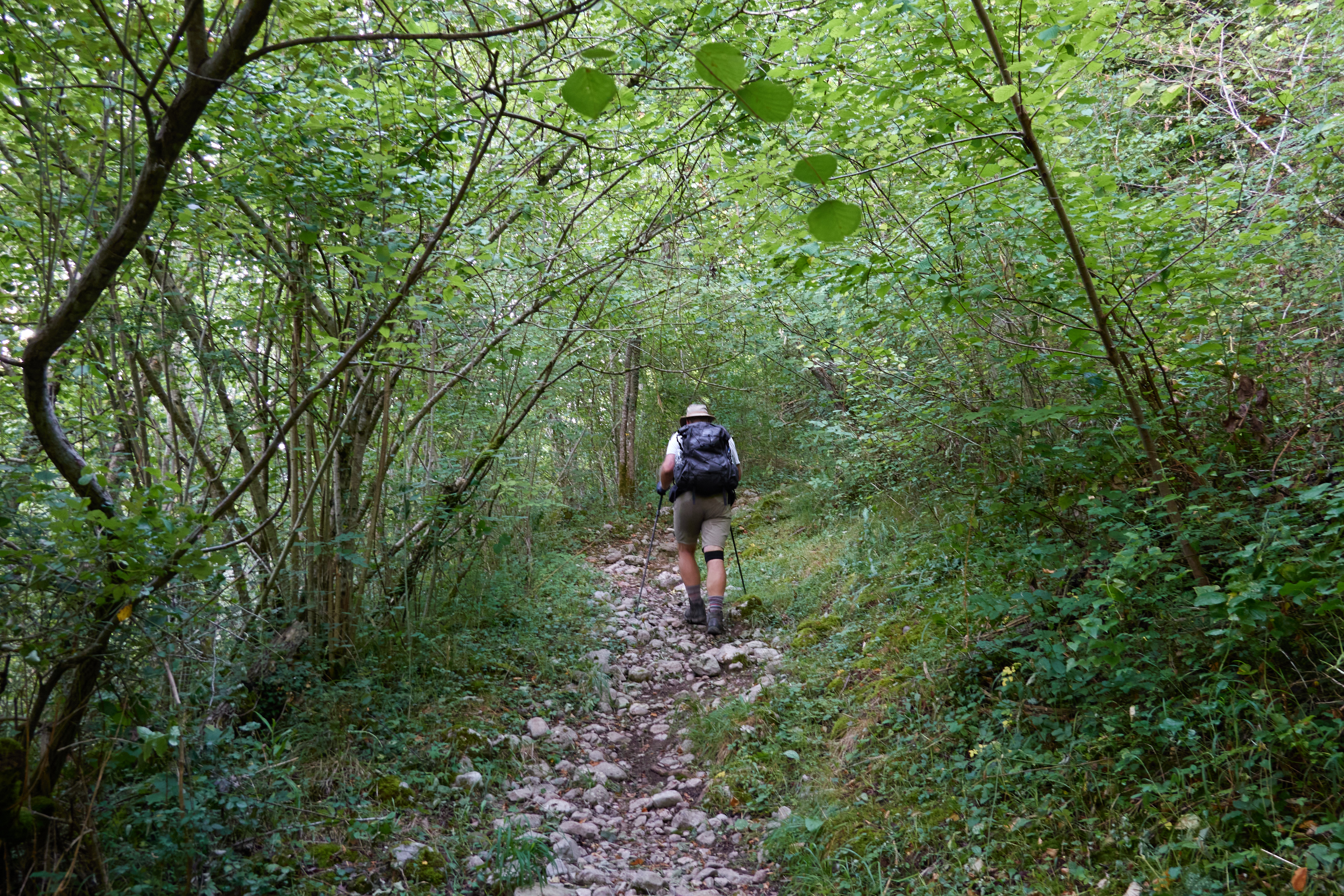
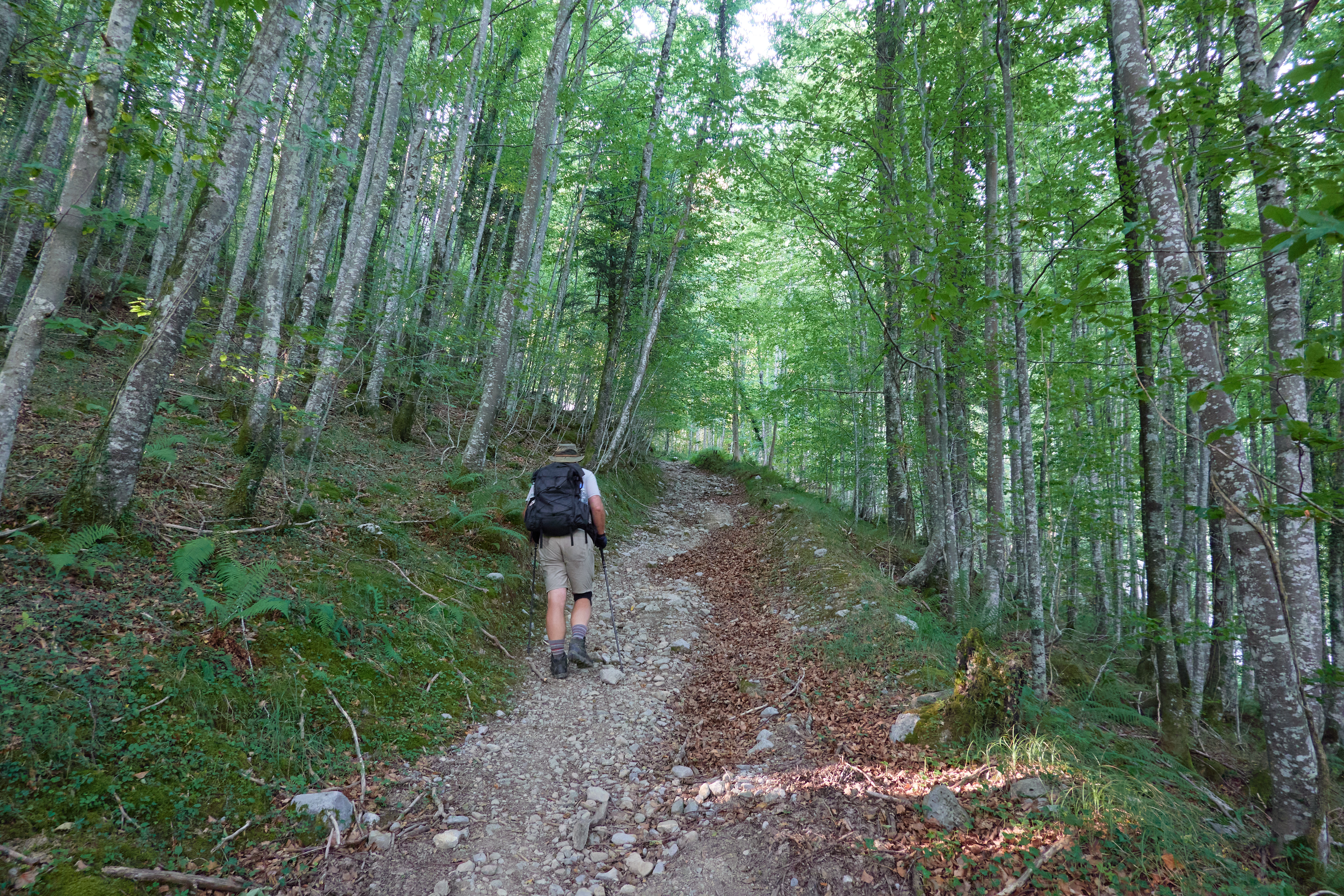
The uphill through the forest was just fine on this cool morning, then above treeline the grade became less steep, and finally we're seeing some high country dotted with conifers.
Both of us were a bit dreading today, a short stage but with 1200m
(4000 feet) of elevation gain. Would it be hot? Tedious?
Super-rocky?
None of that.
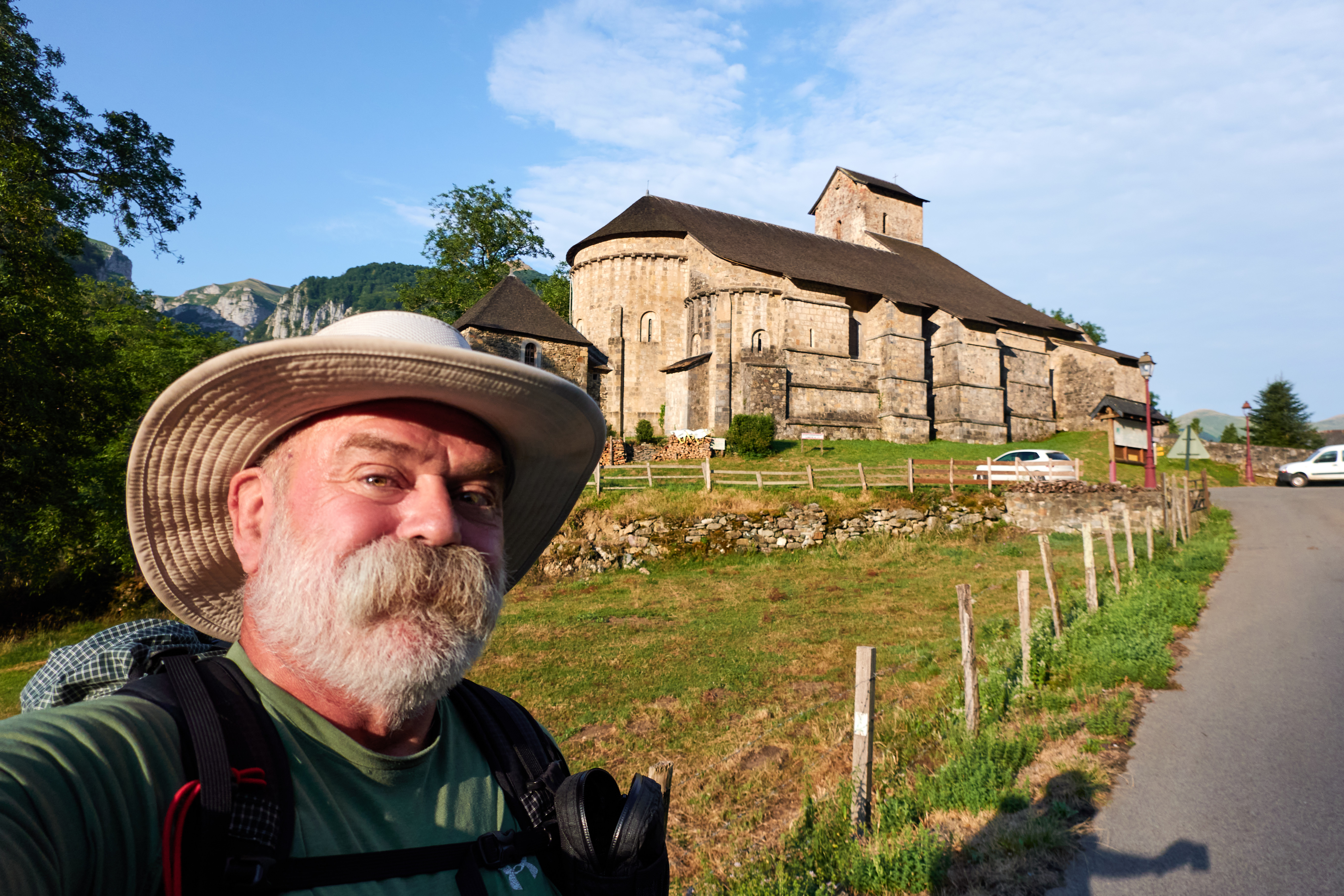
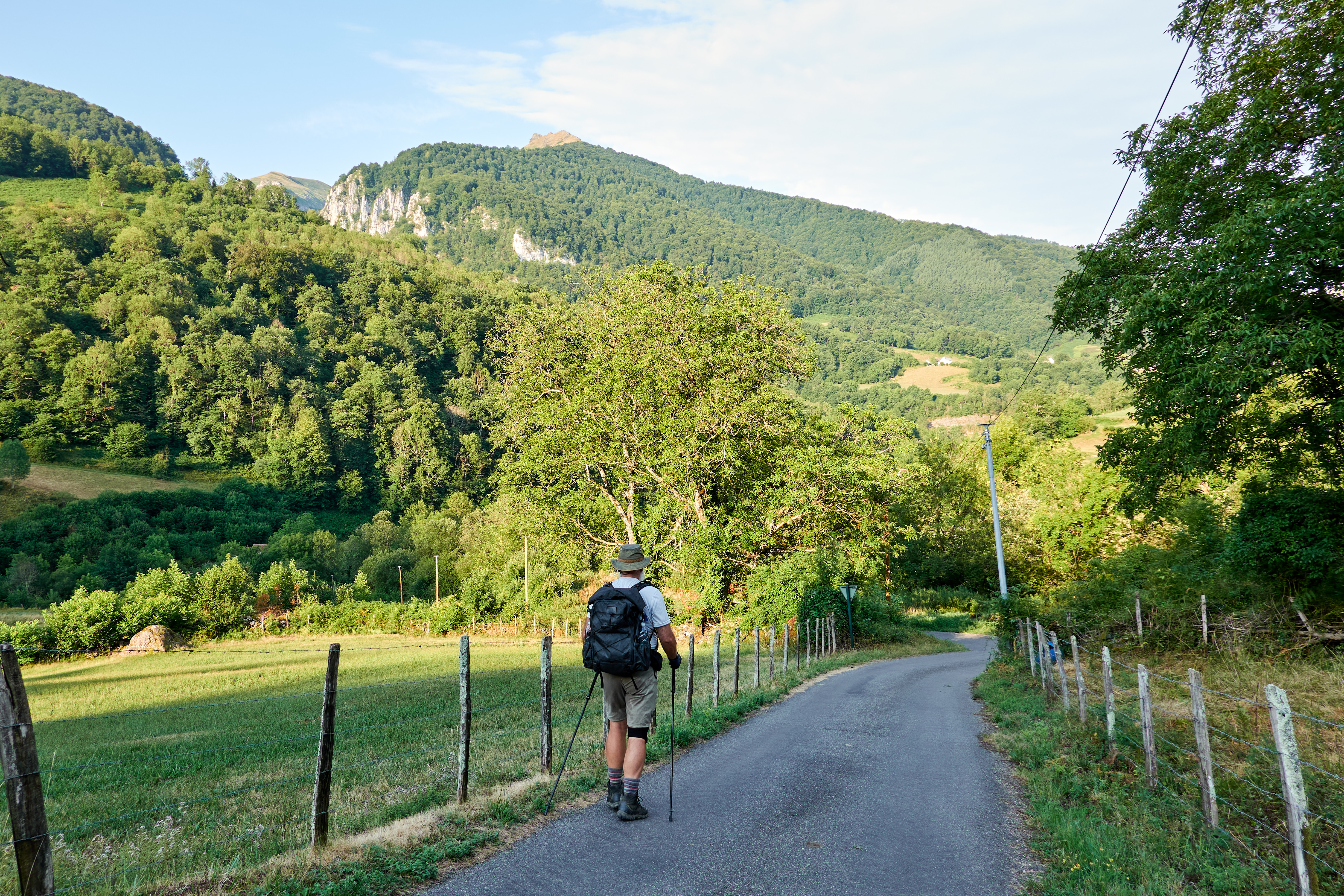
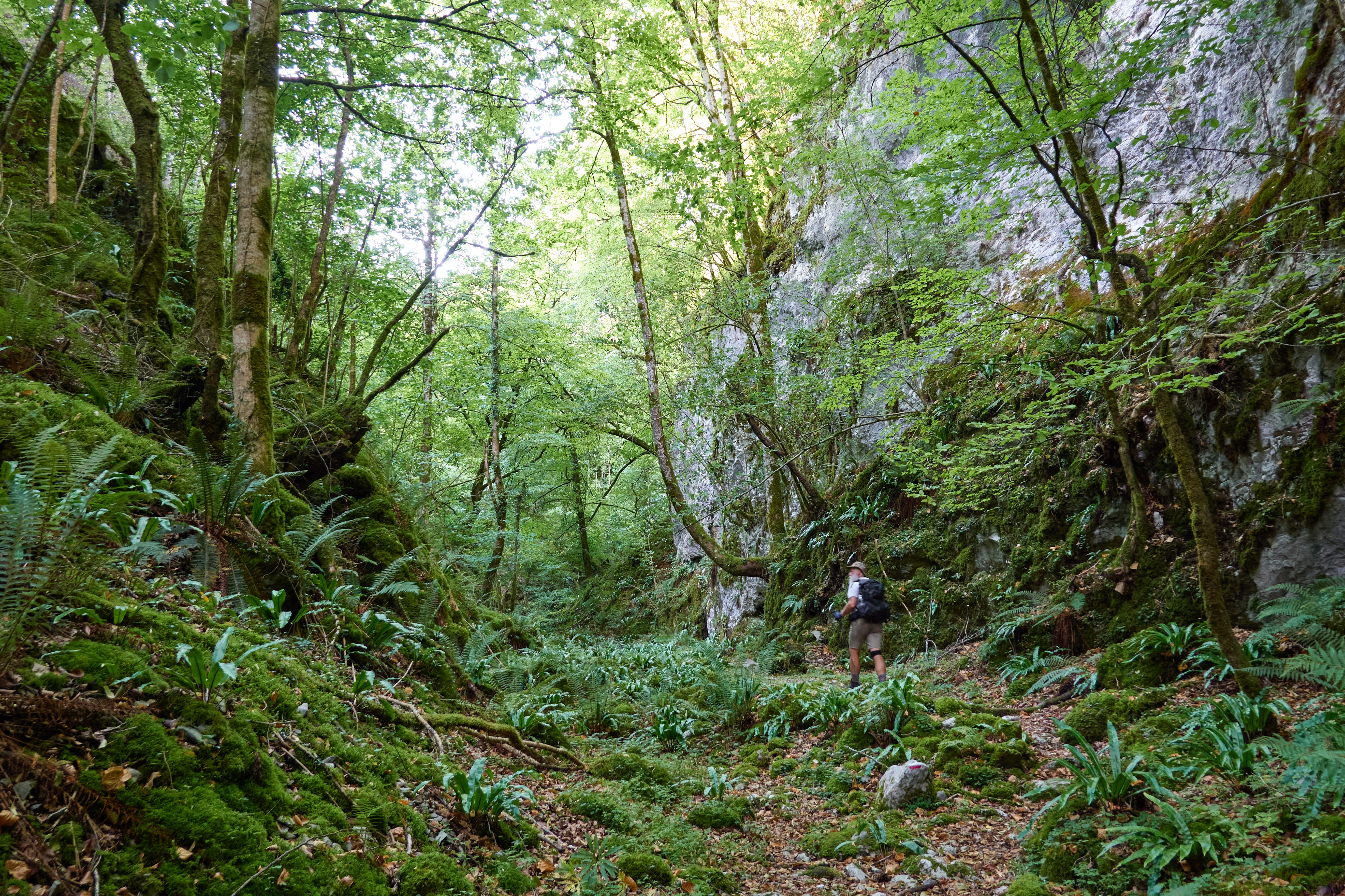
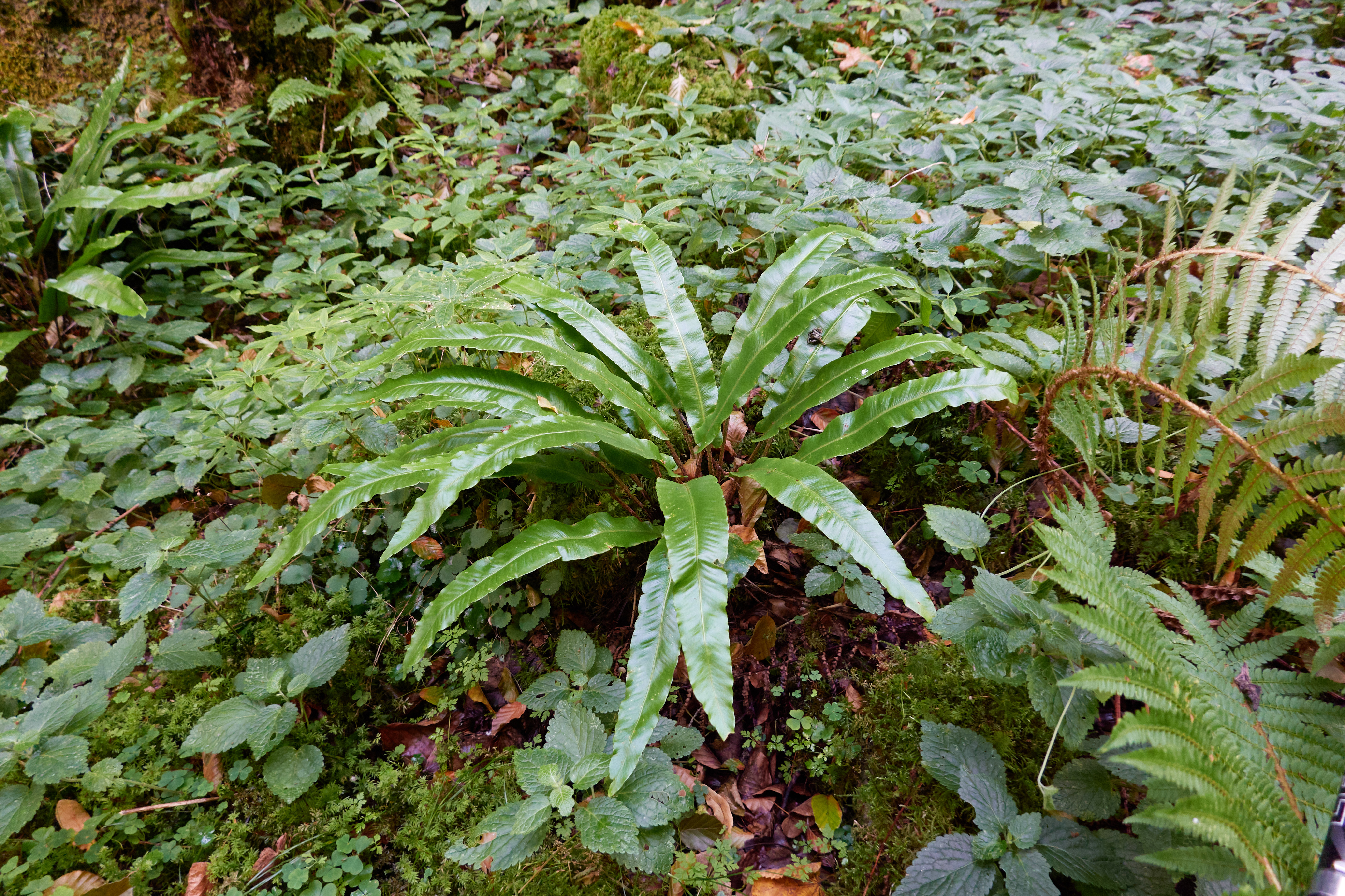
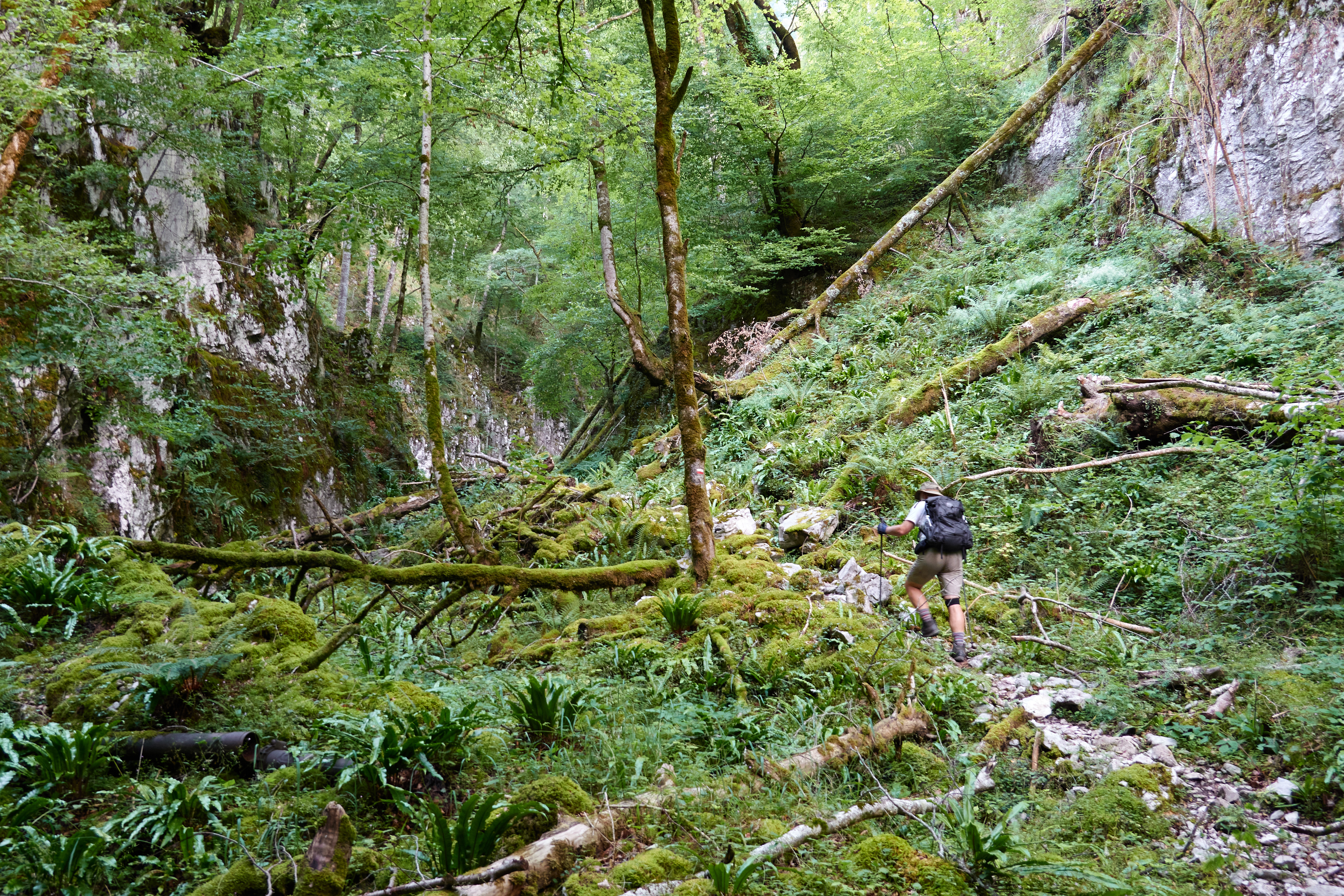
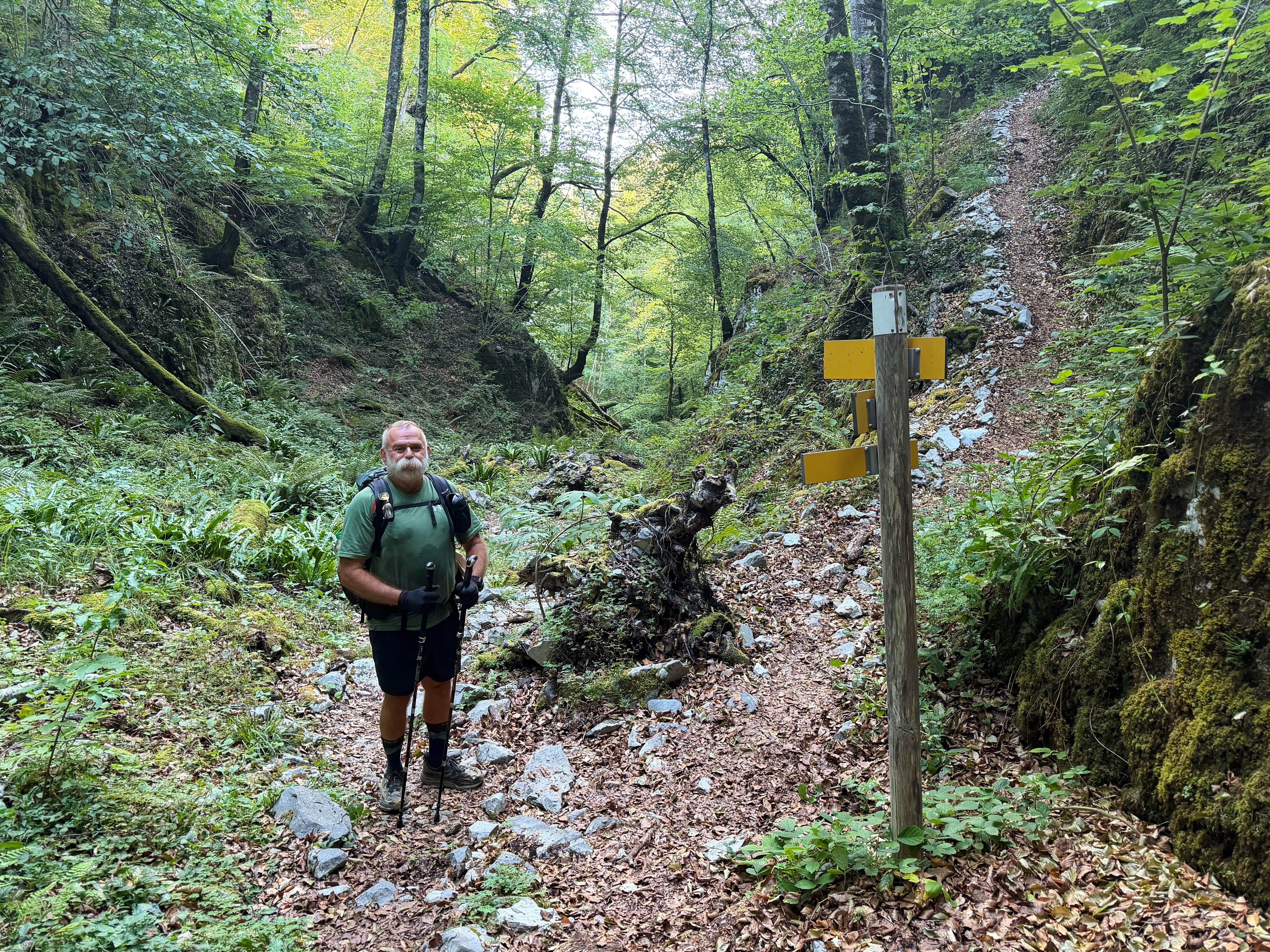
We started at after a fly-blown breakfast, down to the stream then up the other side of the valley, a cut in the karst filled with ferns, cool and damp and really pretty as we ascended, reaching the beech forest in maybe 90 minutes. Nice, cool, 19C (66F), sure I can handle this walking weather. This is the weather that I expected--not some 35C (95F) hot oven.
Soon the Spanish group came up behind us, then five women and one man, chattering and quibbling at where the track is, a few of them are always looking down at their phones just-to-make-sure and updating their group that they're at 500 meters, 600 meters, 700 meters elevation! At roads they all stop and look for a trail blaze, until one exclaims 'veo la marca!' and that usually quiets everyone down for a couple of seconds, until the discussion turns to 'you want a rest? no? I want a rest' and the debate continues as to whether it's a good place to stop or not, until one of them takes off their backpack and settles the debate. I just pushed through, but they were just somewhat slower, and I take longer breaks, so it was a few hours of leapfrogging and getting more bemused by their constant squabbling--they were definitely in the moment.
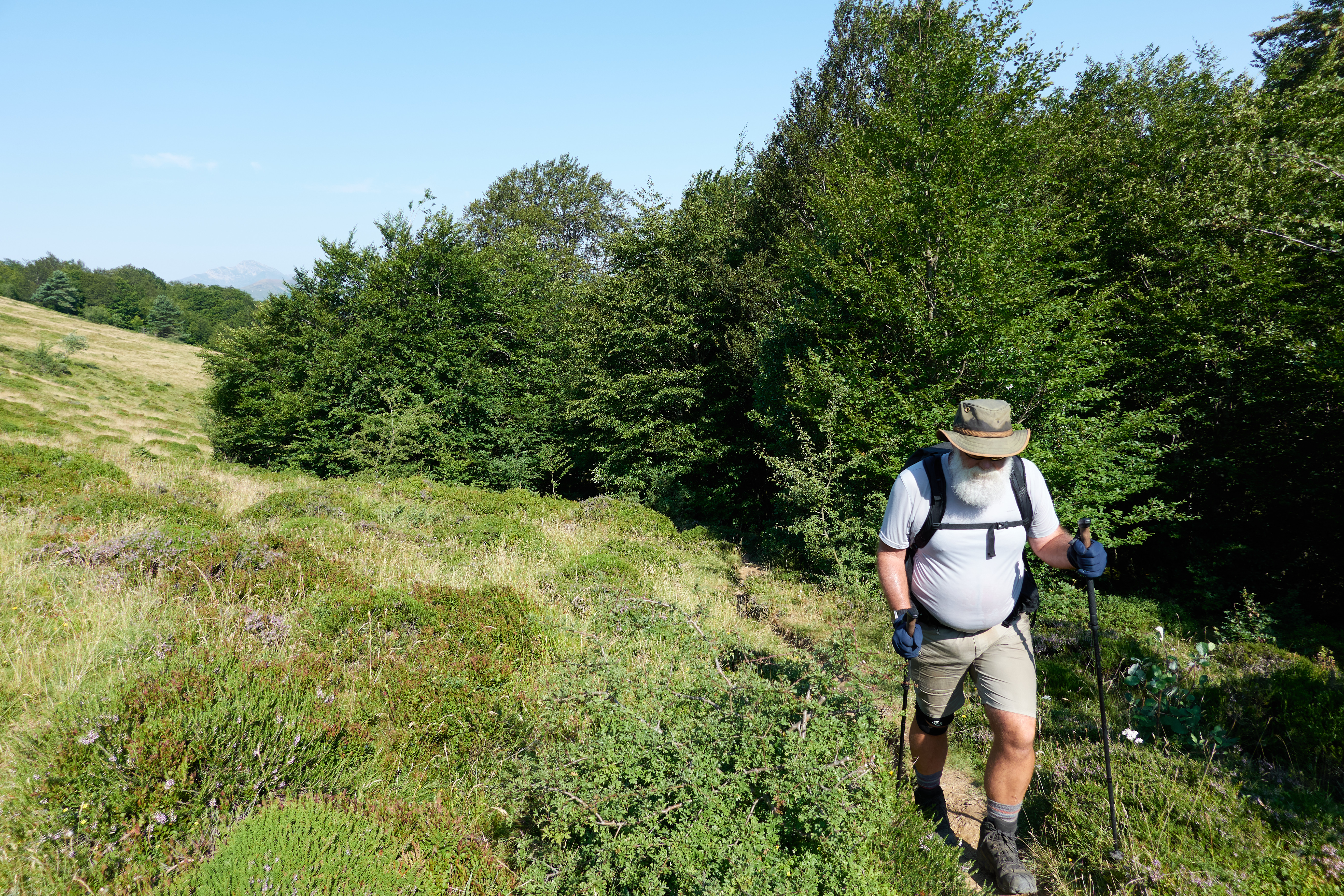
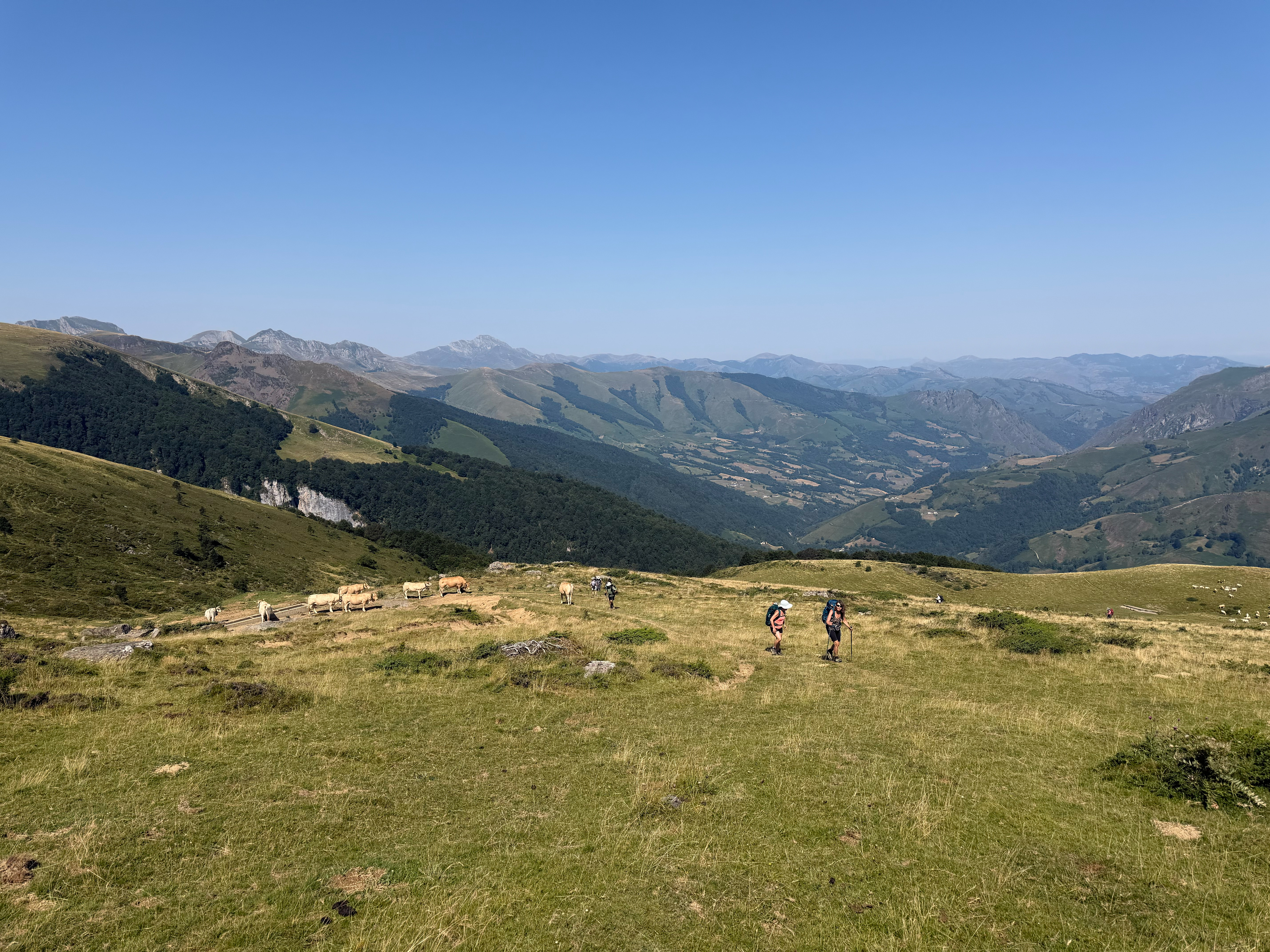
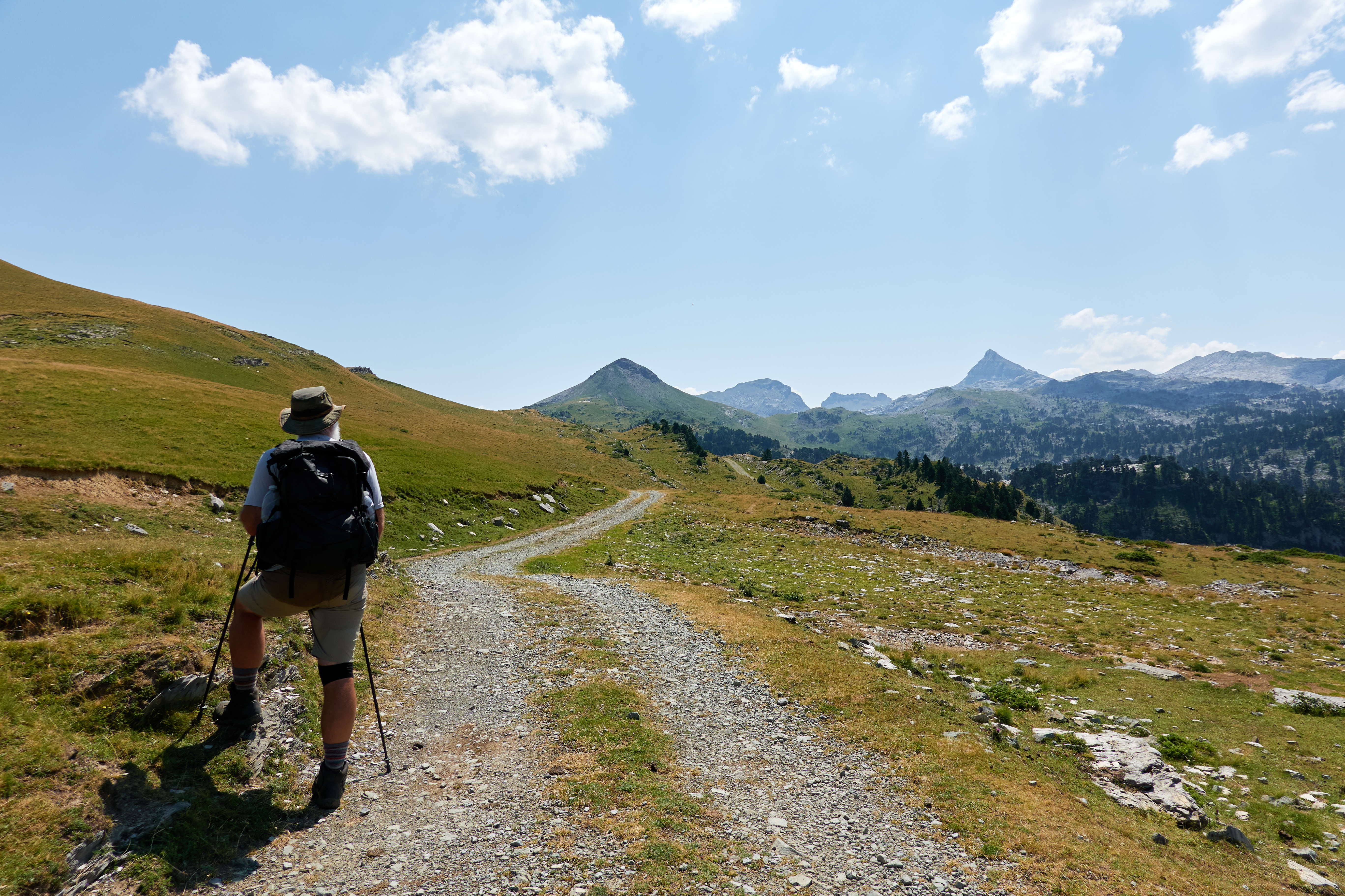
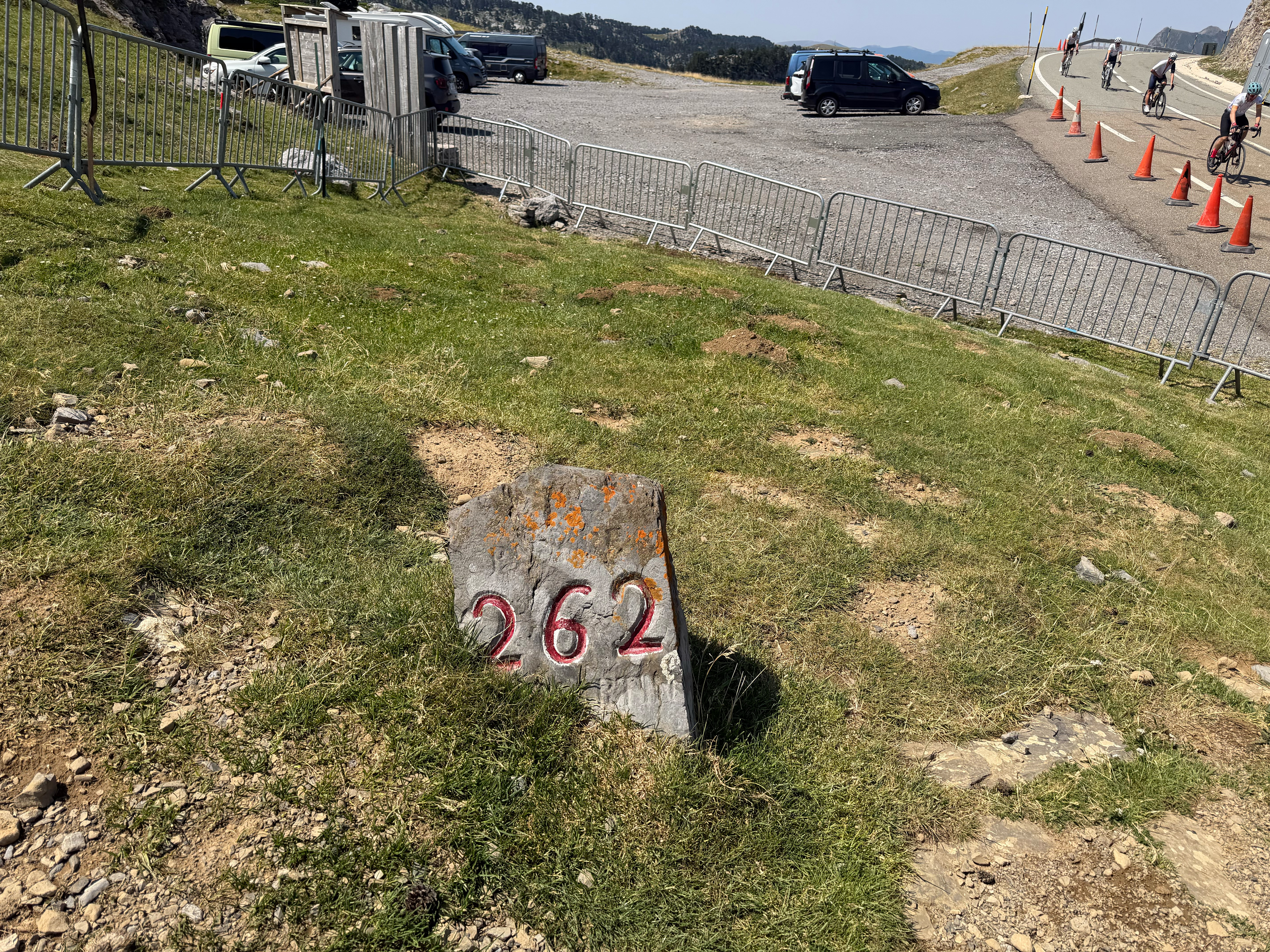
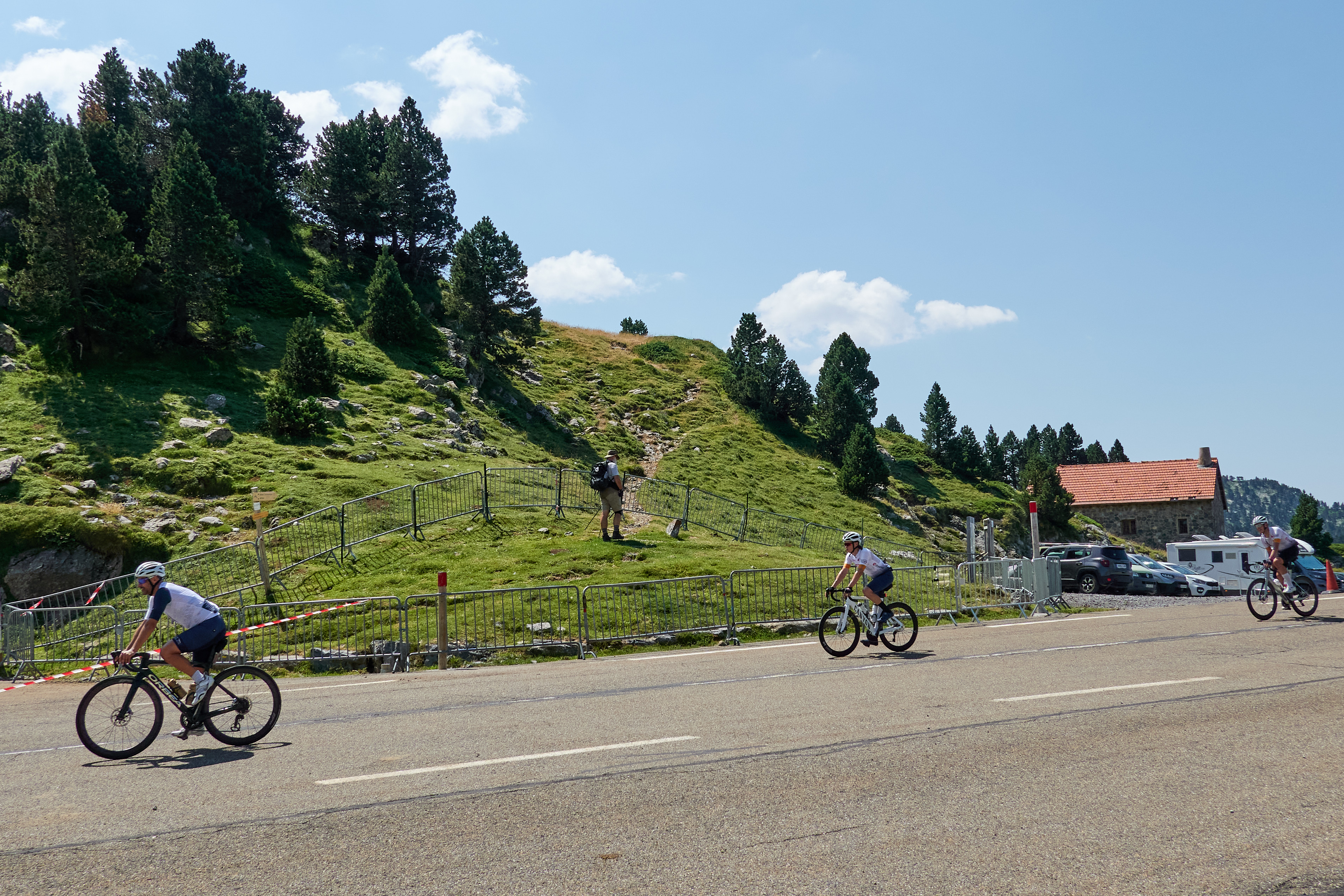
Above treeline at 1300m, it became cow/horse pasture, and the trail tracked up a farm road, with a nice grassy median strip in between, less steep, more mellow, and the views opened to the north. As we approached the crest, the Pic d'Anie suddenly came into view, and the views to the south opened up, an odd looking country of limestone and conifers, and we were at the top and the somewhat busy road heading over the crest from France into Spain, filled with bicycles and motorbikes.
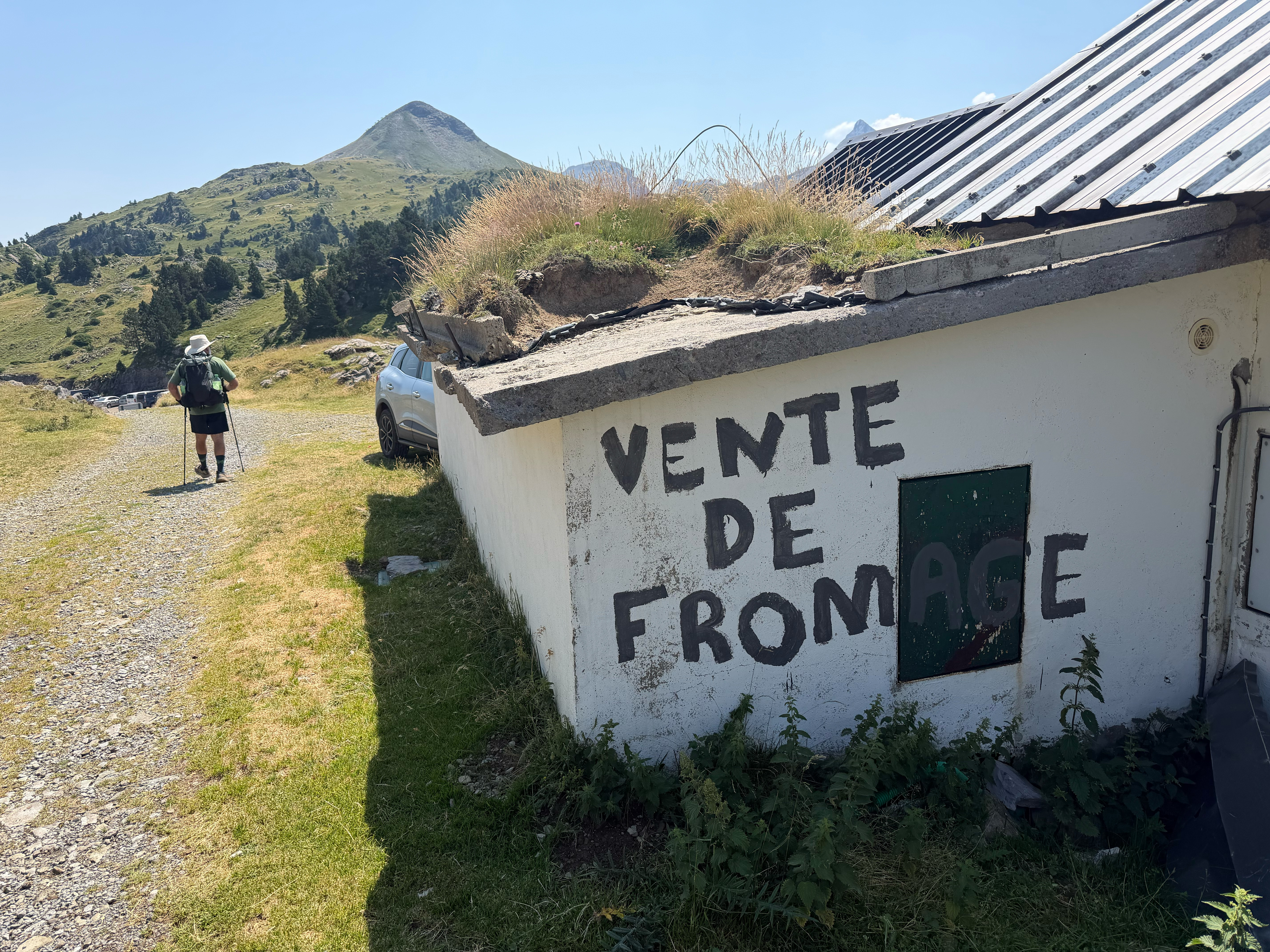
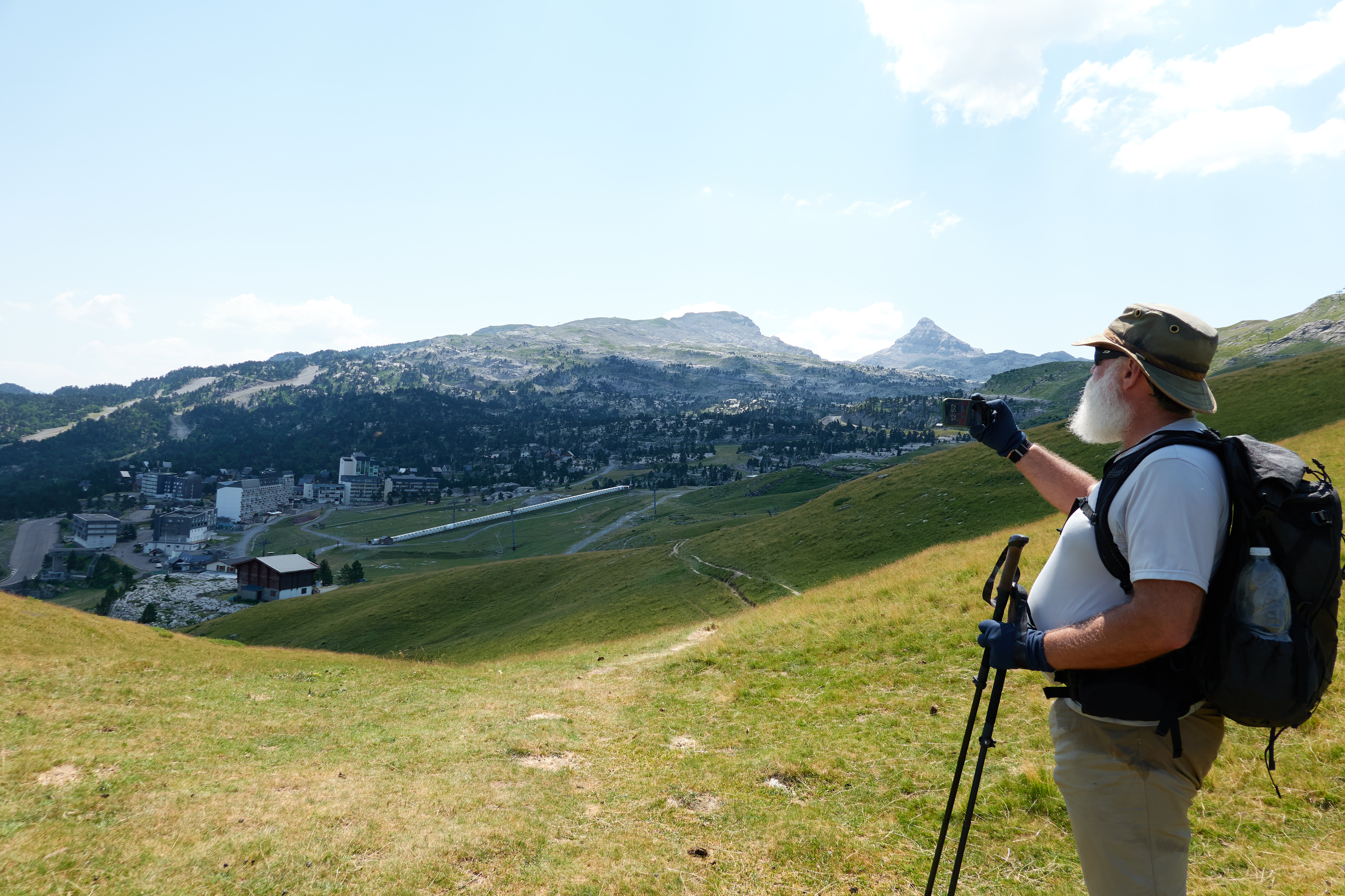
From there, it was maybe 2k down to Refuge Jeandel, which I thought would be some little rustic cabin on the edge of some ski area with maybe towropes. Hah no, as we rounded the ridgeline with maybe a km to go, a large ski resort suddenly appeared, multiple chairlifts on moderately steep slopes, 8 story resort buildings and mountain bikers and really good mobile phone coverage.
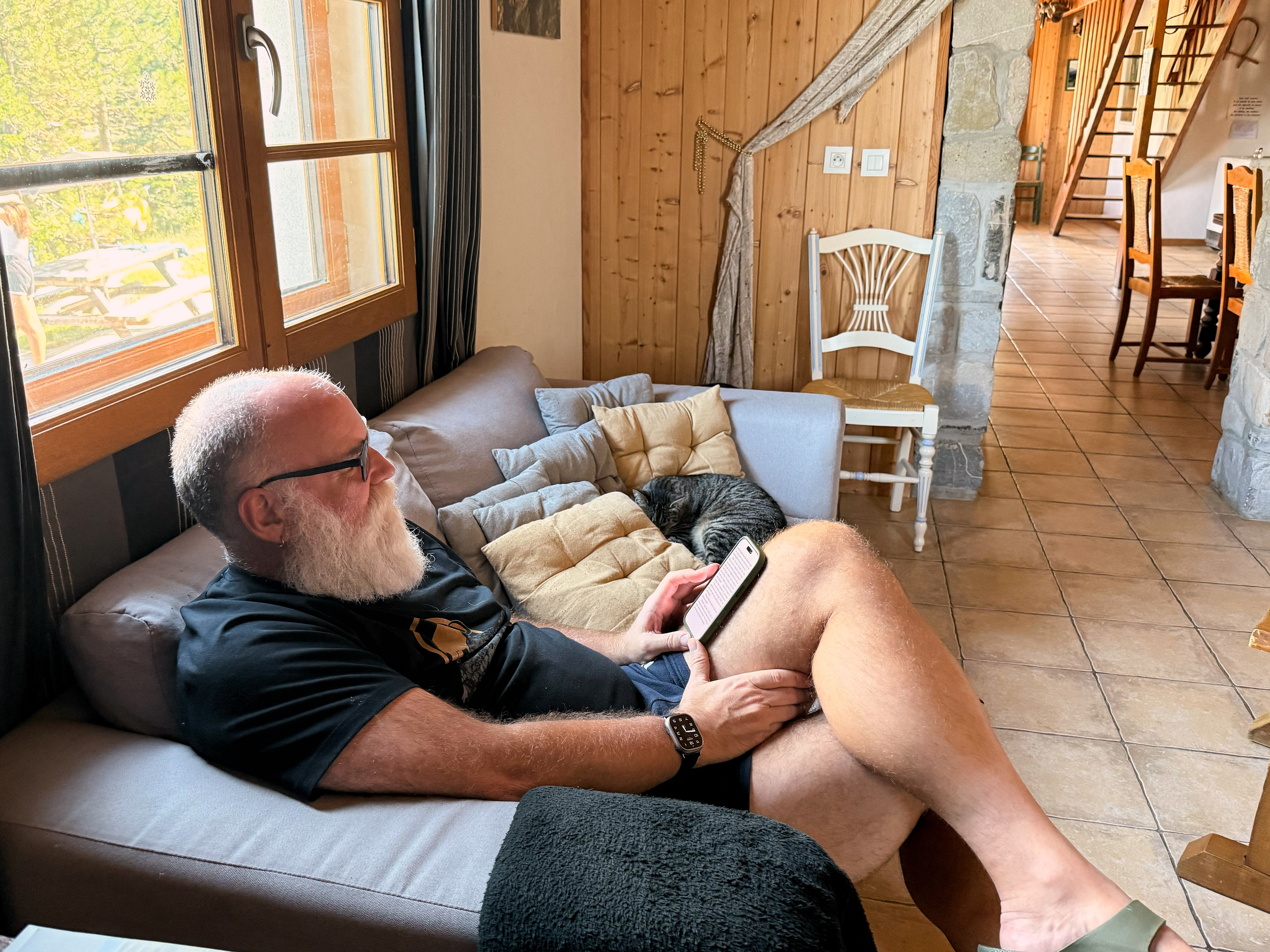
We were shown to our room--a bunk bed (I'll take the top bunk) and a queen size bed that may or may not get someone later. Luggage, unusually, hadn't been delivered. We had drinks, took showers, ate dinner, and then went to bed.
Tomorrow is downhill day to Lescun, very downhill, but we're both feeling pretty fit and we're high enough in elevation at 1600m (erm, 5300 feet) that the heat won't be a problem in the morning walk.