The Milford Track was fantastic--I came into it thinking it'd be crowded or kinda scenic, and after completing it I can't say enough good things about it. We had great (and unexpected) weather, good walking days, and a fantastic time.
Day 1: Te Anau To Clinton Hut
The morning was spent doing most of the stuff you normally do: a bit of repacking and errands, for we're on the 2pm afternoon boat to the start of the Milford Track on the northwest tip of Lake Te Anau.
As per usual, sigh, we woke up at 6:15am or so, an hour before sunrise, and just puttered about. Chris snuck a peak at the Academy Award winners and was itching to tell me about it, slightly, though he called most of the winners lame. I can wait for news today—-actually I can wait for news most days; news just seems so remote and tribal and not useful much, unless you're insecure and need something to rage against. What’s really much more important is to do what we need to do right now, which is find a flat white, pick up the hut tickets at the DOC office a 15 minute walk away... and wait around for our 1:30 bus to the boat to the track.
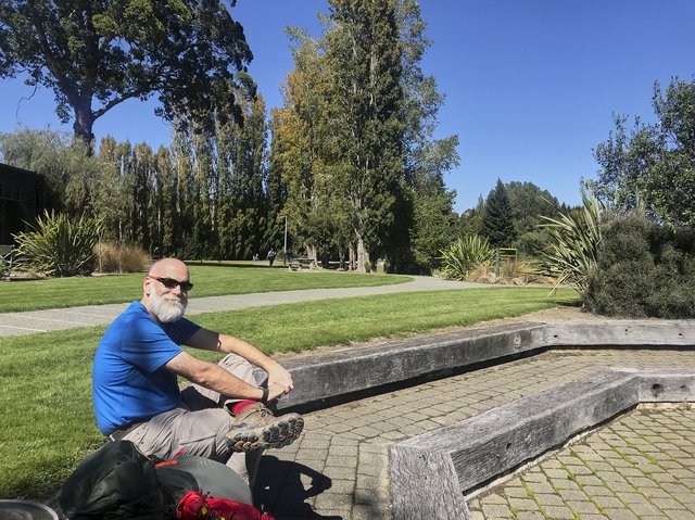
So after packing, we just decided to stroll on over to the DOC office and pick up the tickets right when they opened at 8am, it's cool dry cloudy day; maybe the clouds will burn off. Then food at the Sandfly Cafe (a memorable name, for sure) and I headed back to the cabin while Chris enjoyed some grocery store time, and more puttering commenced until our 10am checkout.
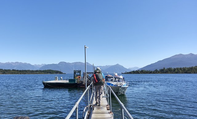
It was then more hanging around the DOC office, then we finally got the shuttle to the boat, yay, we're off. My camera decided it needed to take a brief dip in Lake Te Anau, though, when I got on the boat, and some quick work by Chris in fishing it out of the lake helped saved it--though it took three days to dry out.
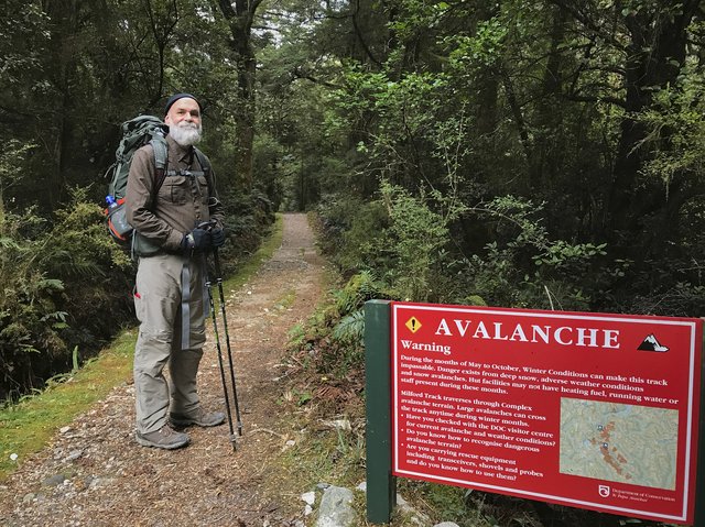
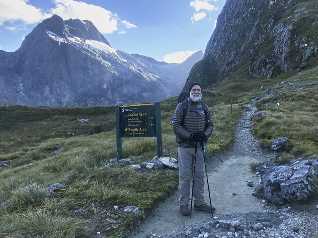
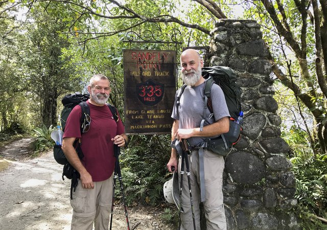
The ride up the lake was, well, an hour, loud and noisy but luckily not cold, and we hopped out at the wharf; took some quick pictures at the huge track sign, and quickly felt the nibble of a half dozen sandflies, yuck. We didn't linger.
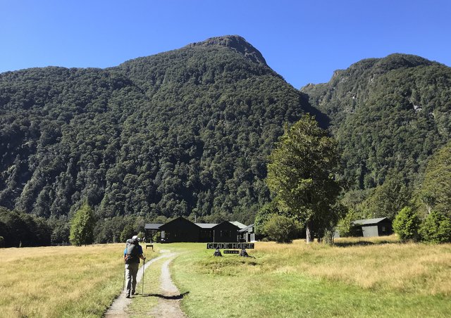
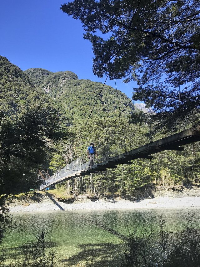
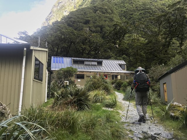
Past Glade House--the fancy lodge for the guided walkers--and then onto Clinton Hut along the river. It was a super-easy 3 mile hike (5km) and we settled in for dinner, some reading and writing, and bed just after sunset at 8:30pm.
Day 2: To Mintaro Hut
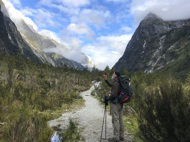
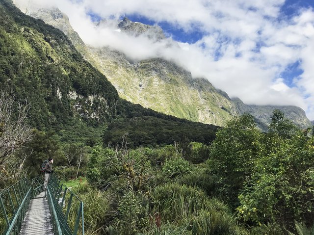
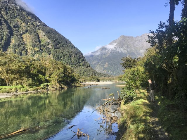
Ah, what a wonderful day. Dry and calm winds, puffy clouds in a bright blue sky, a lonely trail, fantastic landscapes and interesting wildlife. Yep, all around excellent.
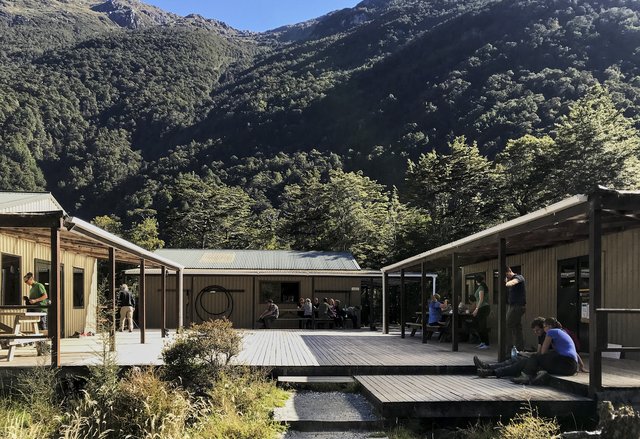
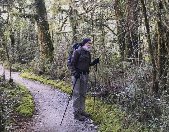
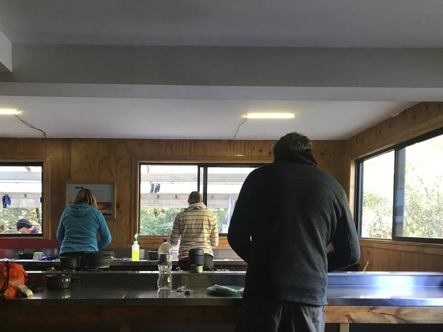
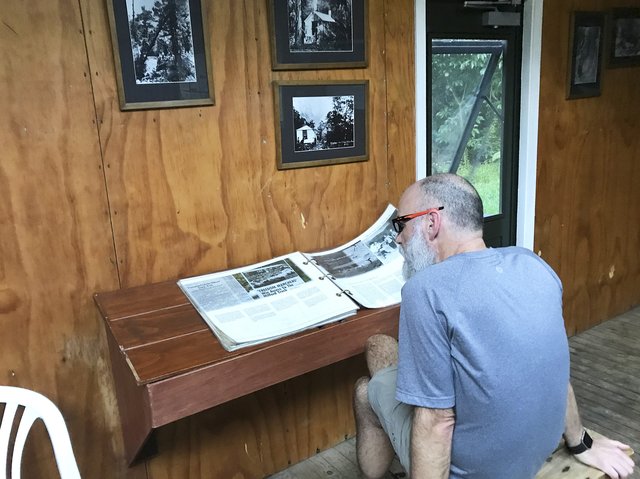
I had pre-positioned all the gear in the common/kitchen hut for easy escape, so at 6:15am it was time to get up and out—all I had to do was put my orange sleeping toe socks in the foot of my sleeping bag, grab my glasses and contact case, stuff it all in my empty backpack, and head across the broad deck to the eating tables in the kitchen, where four folks were sleeping to escape various snorers. Chris followed a few minutes after me, and we made tea and coffee and oatmeal and headed out at 7:30am, right at sunrise.
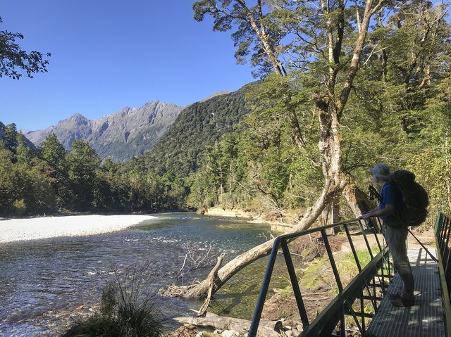
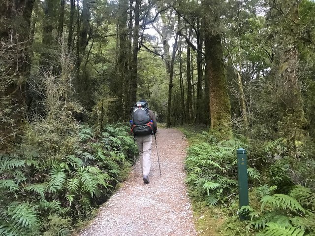
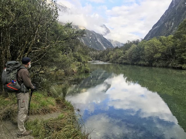
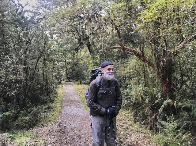
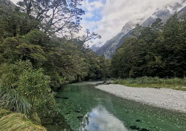
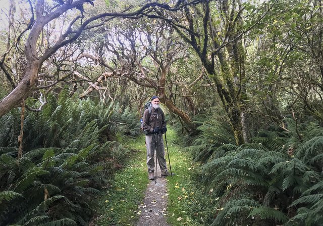
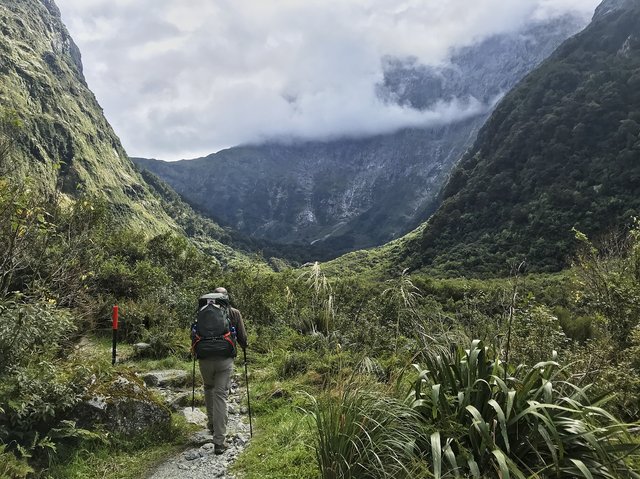
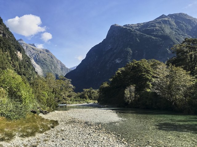
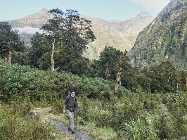
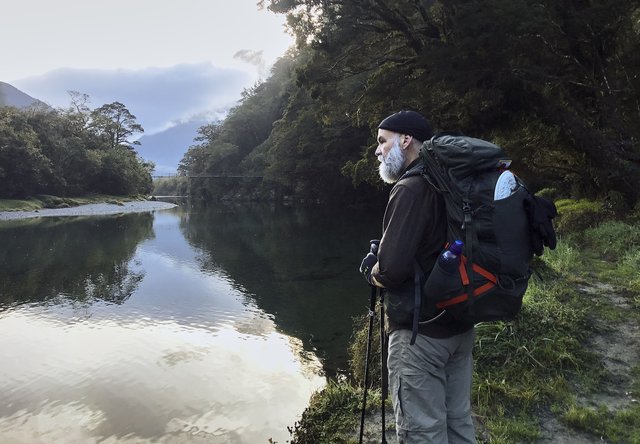
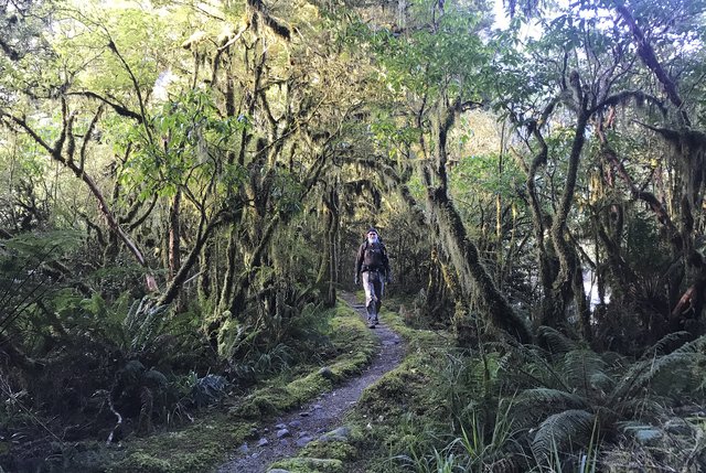
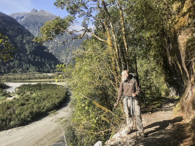
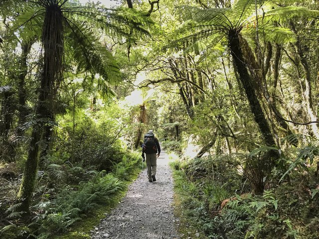
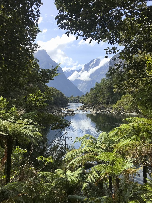
I was really keen on seeing whatever wildlife was up and about at daybreak, and while there were a few birds here and there, it was mostly quiet. We did see the common birds—riflemen and that tomtit that often stared at you, arms length away, as you passed them along the track—and the occasional bigger bird, but we mostly enjoyed the quiet stillness. There was no wind, no rain, just the soft burble of the Clinton River off to our right, flowing glassy green, just beyond a screen of beech and lancewood and fern.
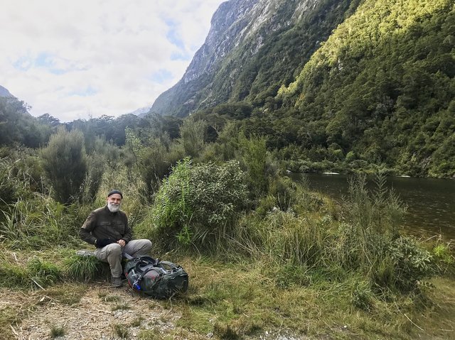
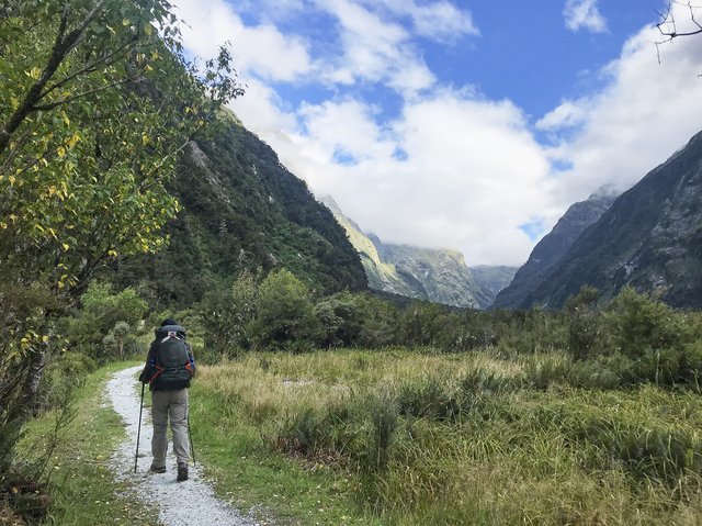
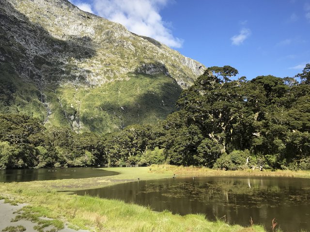
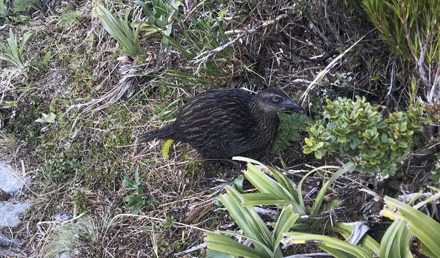
This continued for a few miles, as we mellowly made our way up the valley, stopping for some pumpernickel and Parmesan at Hidden Lake, which was just too cold and windy for a longer stop. We spotted at weka pecking along the track, which amused us a bit, it wasn’t all that concerned with us, and a solitary duck at the lake that wasn't a whio. We hadn’t seen anyone since we left Clinton Hut, and that was fine, just enjoying the day, as the clouds unclumped and more bits of blue sky appeared.
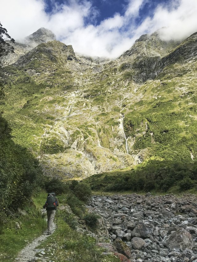
Somewhere after Hidden Lake the landscape changed, got a bit rougher, and the river roared more than burbled. The track become more rocky, nice white granite, looking very Sierra-like (which really means grandodiorite), though occasionally this “granite” got very dark black with only a few white flecks. We went up--again, the track was super-well manicured—-and while there were rocks and roots, they weren't much of a bother. We considered stopping at Prairie Hut, but it ended up being a picnic bench with a roof over it, no walls, and with the wind blowing down the valley we decided to go to the next hut some 500m further up valley. Bus Stop Hut looks like, yep, a dark deep bus stop, and smelled like a bus stop filled with cat piss. Not an enticing atmosphere... so we kept going and found a rock with breezes and sans sandflies and split a peanut butter Clif bar, keeping it classy.
I looked at the map for the first time at the break--oh, look, we’re just 30 minutes from Mintaro!--so we hoofed it and arrived at 1:15pm with the whole afternoon in front of us. After unpacking I took a nap, then read through all the hut reading materials. We spend another hour down at the lake, really too cold and breezy for a swim, watching the local ducks and Canadian geese (!) and the clouds shift around the mountains. We picked out the track for tomorrow on the slopes above us, a 45 degree incline up to Mackinnon Pass, and enjoyed the sun on the helipad decking in the meadow.
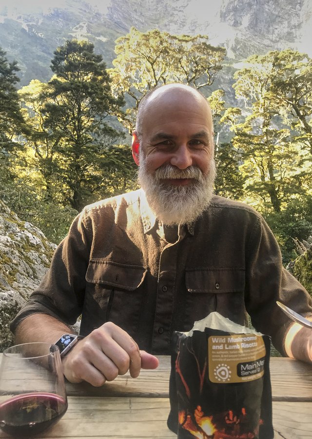
Dinner was a very tasty lamb and mushroom risotto, a Hawkes Bay cab sauv, and apricot crumble. I really do like these dried meals we’ve had so far (from Invercargill nearby). And with all of that in my belly, and the 16km of walking today, I’m sure I’ll sleep well tonight.
Day 3: To Dumpling Hut via Sutherland Falls
Oh, today is the highlight of the track—a climb over a pass separating two fiords, a side trip to New Zealand’s tallest waterfall... and a bright blue sky day to top it all off.
Once again, we pre-packed and scooted out of the hut at 7:30am—I would call it sunrise, but we were so deep in the fiord with a sheer wall of granite to the north and east that it would be hours before we saw sunlight. There were more birds up here in the valley, and birdsong, which was wonderful, and the spiders had been busy overnight, stringing sticky webs across the track, a bit gross but it also meant there was no one else about.
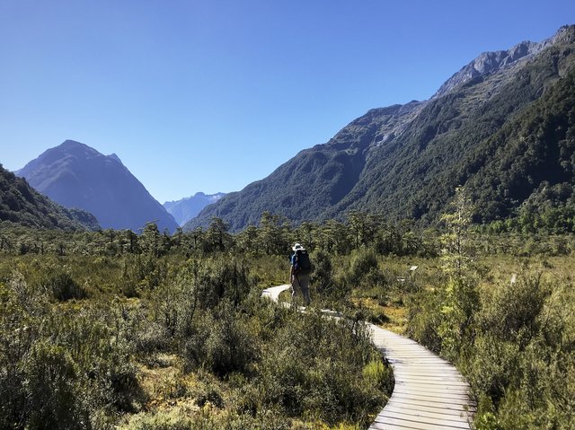
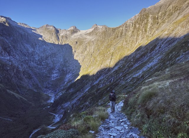
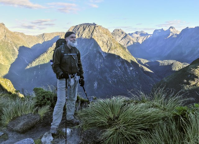
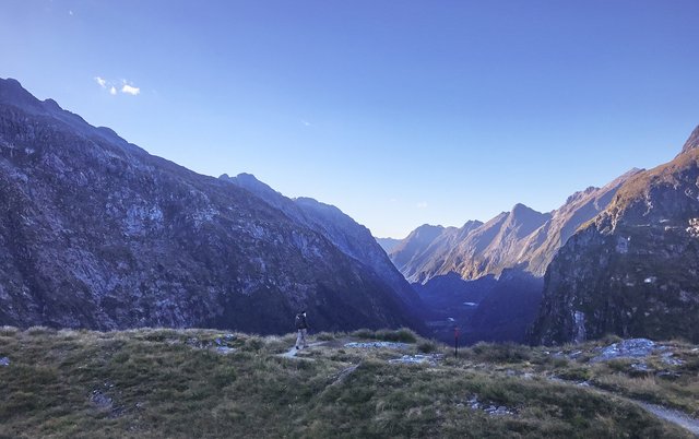
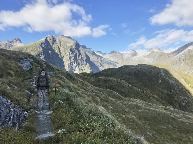
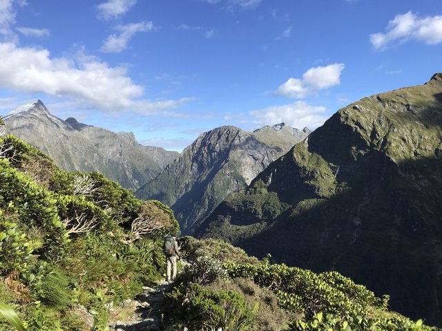
It was a steady zigzag climb to the pass, nothing too difficult, and as we got higher we enjoyed great views down the Clinton Valley, looking very Yosemite like in the early morning sunlight glinting off they granite. We really didn’t feel like we were going all that fast, but an hour and a half later we were at the McKinnon memorial cross, taking pictures and peering down on Quentin Lodge on the other side of the pass, a thousand meters below us. We high fives and dug out our down jackets and heavier gloves too--while the skies were clear, it was breezy and cool, not even 5 degrees (40F), so we hustled over to the hut.
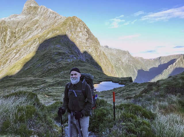
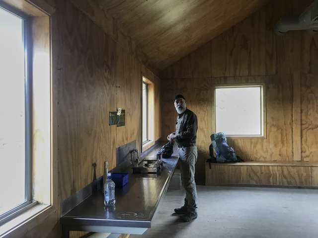
Mackinnon Pass is a bit strange, in that you walk along it for a good 1000 meters and climb a bit to the hut before descending. It's kinda like the separator in a kitchen sink, steep on both sides, more a rim than a notch. The memorial cross is on the southern side of the pass, then you walk along the pass top past tarns and up and down hills gaining a bit of elevation, to the shelter hut. We took advantage of the gas stove and made some lavender tea in the chilly room, enjoyed the last of the heavy heavy pumpernickel and Parmesan cheese, then headed down. Our plan was that we'd wait at the hut for good weather--but it was already here--so we started down rather than shiver in the cold.
Down and down we went, catching glimpses of Sutherland falls, and then finally we made it into the sunlight, prompting us to shuck off our down jackets and gloves. We passed a trio of competitors doing some crazy multi-day endurance race, and made it to the shelter next to Quentin Lodge at 12:45... enjoying a lunch of venison stir fry rice noodles, which was damn good.
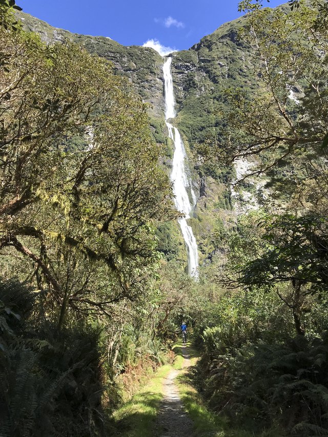
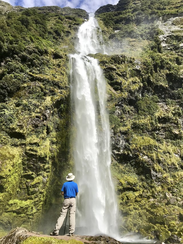
A side trip up to Sutherland Falls was the highlight of the afternoon; we dropped our packs at the shelter and went up the 3km side trail to the very tall waterfall (580m tall), the tallest in New Zealand and one of the tallest in the world. It was wonderful, a strong yet wispy stream, crashing on a poor rock on the bottom, and we just sat there and watched, no one around, for many minutes. After a bit, two other walkers came along, then two more, but those minutes we had to ourselves were special. Some say the Milford Track is overcrowded, but you can also have it to yourself for a little bit; wonderful.
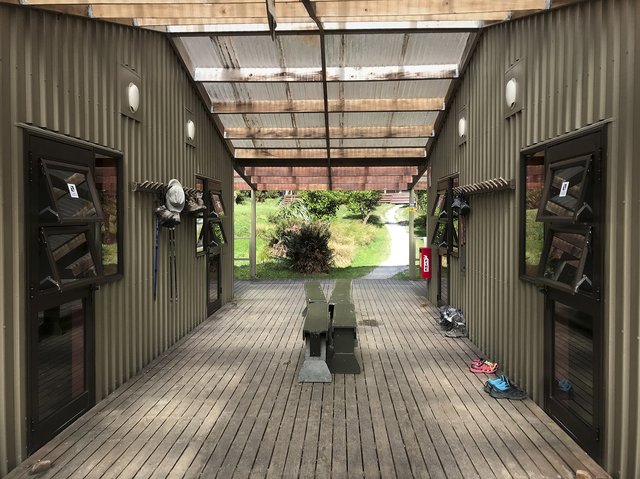
Returning from the falls, we picked up our packs then did the last hour to Dumpling Hut, a cute name and a nice little spot with four separate bunk rooms. I took a dip in the river—cold, but not quite glacial—-and the sandflies snacked on my tasty white flesh. Yeeikes, best to retreat to the hut, have a little nap, and some dinner. Note to self: the freeze-dried nasi goreng is sweet and not interesting. There are better choices.
A short talk by the ranger at 8pm, and it was bedtime. Tomorrow: 6 hours of pretty flat walking to Sandfly Point, a boat across Milford Sound, then back to Te Anau. I could use a beer.
Day 4: To Milford Sound and the end of the track
So today was going to be the day when it was cloudy and rainy, after three days of rain and a lot of sun, I figure our luck would run out. It didn't--it was a crisp bluesky day with a little bit of wind that made the last miles of the Milford Track wonderful.
I could tell it was going to be a good day when I woke up at 4am with what I thought was the first light, but was really the full moonlight coming in through the door window next to my bunk. I just dozed quietly until 6am, which I vaguely remembered as when the lights went on in the kitchen hut, then escaped out the fire exit with my pack and sleeping bag to disturb the campers sleeping up there.
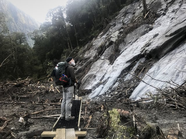
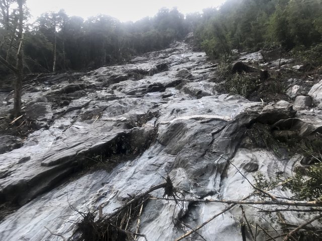
Breakfast and then a leisturely pack, and we strolled down the track at 7:30am as per usual, cutting our way through spiderwebs and crashing by tomtits, scooting out of our way. It’s all of 16km and 150m drop in elevation, so we just kept on truckin’, a pleasant walk. We did pass what they call a "tree avalanche"--there was a huge storm a few weeks ago, causing the trees on the steep cliffs to come crashing down--but it was more curious than dangerous. This track must require quite a bit of maintenance with its annual rainfall of 6+ meters a year (uh, 240 inches, or 'a boatload')
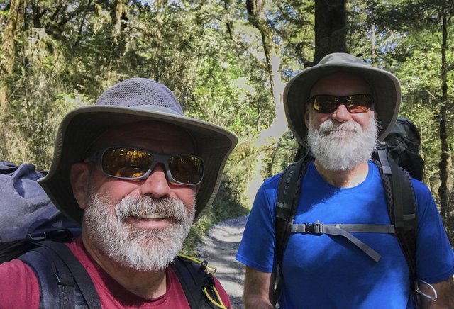
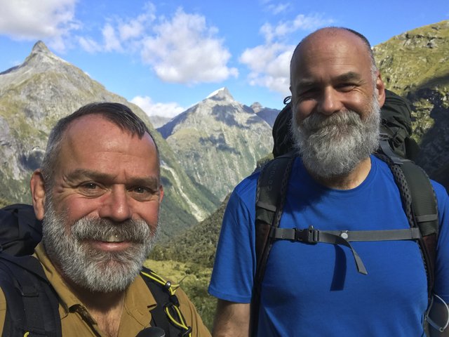
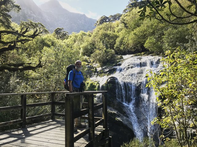
We stopped by a couple of waterfalls, peered under Bell Rock, shooed away a pesty weka... and watched another one run into the bush with a black silky scarf-like thing from another tramper, who knows, they're theives. A few selfies and dualies and we were at Sandfly Point at 1pm to wait for the 4pm boat across the sound, hoping he would take us early.
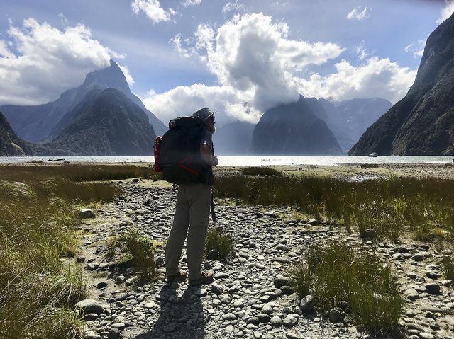
The boatman didn’t take us at 2pm, but since it was a bright shiny day most walkers had already finished, so he swung back at 2:30 and ferried us across, as he put it “a quick 6 minutes and 48 second journey”, which was accurate to a few seconds. In Milford Sound we stopped by the Cafe and enjoyed some beer—Chris found some odd spruce beer, made from rimu and strangely agreeable, I just had some Queenstown IPA that was nearly as palatable, though IPAs are most certainly not my thing. The wind had kicked up the sound and we took the mandatory pictures of Mitre Peak from the foreshore walk, then sat and waited for an hour for the two hour bus ride back to Te Anau and shopping.
I checked my camera--after its brief dip in Lake Te Anau, it had dried out and was showing signs of life, so we decided to help it some and bought the cheapest rice we could find and gave it a dry bath. We’ll check it in the morning. I’m hopeful.
Dinner was at the Redcliff Inn (yum) I had the kumara and pumpkin and walnut salad, with venison and beetroot... and we split a plate of a dozen Bluff oysters, just coming into season. We ate far too much, and toddled back to the cabin, bellies full.
