- Date: Monday June 22, 2015
- Miles hiked: 24.77 PCT
- Miles covered: 1202.60 to 1227.37 PCT
- Weather Report: Low 49, High 76. Sunny and warm and dry and breezy with deep blue skies. Again, most of the day was hiking in the low 70s
- Wildlife seen: chipmunks, lizards, deer
- Mood of the day: Easy going
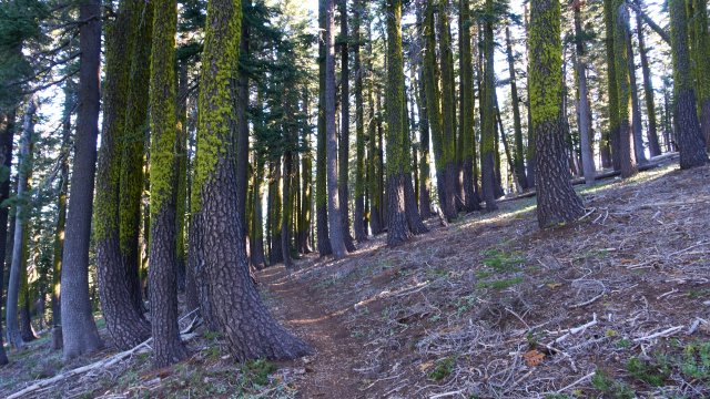
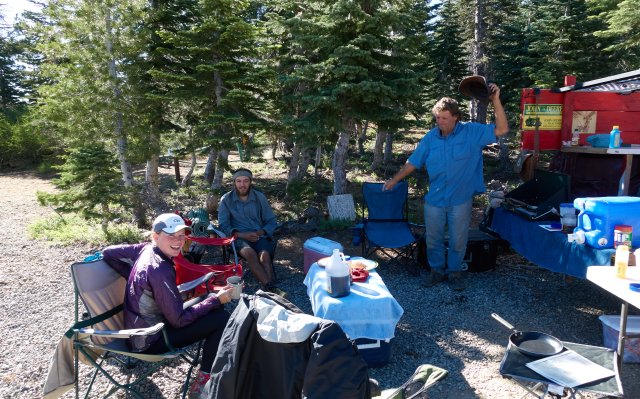
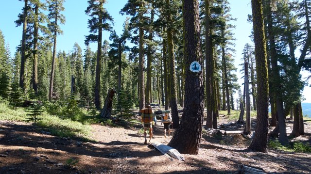
Oh, it was a great hiking day: sunny and warm. We started out at 7:45, a bit late, but in the gloomy forest there wasn't much morning sunlight. It didn't take us long to warm up, though, and after a mile and a half we crossed a dirt jeep road... and Legend, again, was there cooking pancakes and making coffee and invited us over.
We joined Cutfinger (the hiker formerly known as Squatch) and Caboose for breakfast (I now call those two the C&C Hiking Company) and after a few minutes another hiker we'd seen back at the store dropped in. The six of us enjoyed the pancakes and the chairs (such luxury!) and the company, then after not quite an hour we headed up the trail again, passing Legend's sister ("Not Dead Yet") along the way.
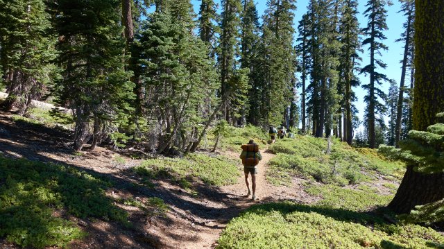
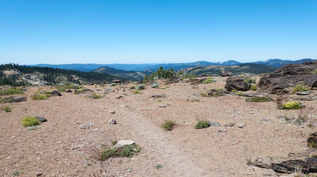
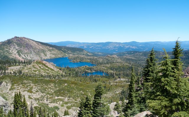
The PCT wound its way north along the ridge above a series of beautiful lakes in the unimaginatively named Lakes Basin, and the scenery was wide and open. This section of the Sierra is usually overlooked; the softer rounder mountains aren't as dramatic as the groves of sequoia in the south, the cliffs of Yosemite, or Lake Tahoe--but they'd be great to explore if I lived nearby. Being overlooked has its advantages, namely no crowds too!
Taylor was hiking along with us--he's doing bits and pieces of the PCT before starting a job in a few months--and the three of us fell into an easy cadence, generally with two of us hiking together and the third behind, then swapping places whenever. The conversation and the easy trail that hovered around 7000 feet elevation helped the miles go by quickly, though after around noon I decided to really see if I could push it for a few miles. Yep, surprisingly I could, and was pushing 18 and 19 minute miles (3 to 3.5 miles per hour) for a good 8 miles as we headed towards A Tree Spring, which we all decided was our lunch stop.
We got to the spring, which was oddly a bit confusing to find, hidden just fifty feet down a junction of three possible roads. Once we found it though, we were happy that the water was cold and delicious, and tanked up. I didn't bother filtering this water at all--it came straight out of the ground on a V-shaped metal stake, drank a liter in one loooooong gulp, and carried away 2 liters. I also looked at the map, and saw that there was a campsite next to a fork of the Feather River in about 28 miles. Hm, if we walk 7 miles to camp tonight, then we can camp at the river tomorrow, and have a nice swim. Sounds like a plan!
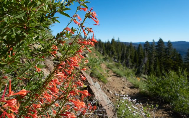
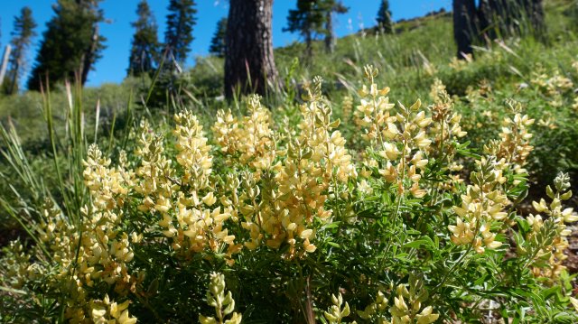
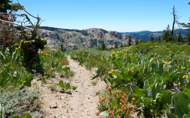
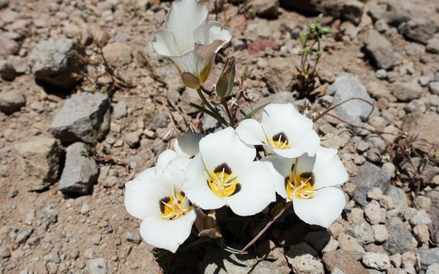
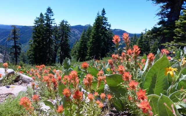
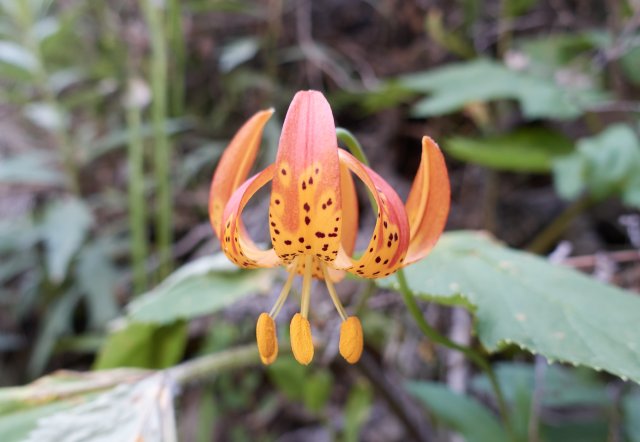
After that blistering pace of the previous 8 miles, I wanted to slow down a bit, take pictures of flowers and such, and enjoy the surroundings. I spotted the first tiger lily (is it a Humbolt lily?) and some more wildflower species I hadn't seen before as the trail came down to the 6000 foot elevation.
Around mile 1220 after cresting a ridge and descending to Bear Creek Valley, I spotted Mt Lassen off in the northwest, with what might be a small white cone just to its right--could it be the first sighting of Mt Shasta? I'll have to look when I get some real internet. Either way, one or both are the first sighting of the Cascade Mountains, and a sign that the Sierras are coming to an end in a few days.
The PCT wandered down through the valley, and at the east branch of Bear Creek we all decided to grab a few liters of water apiece and push a bit further to dry camp, maybe up on a ridge. That would get us closer to the Feather River and allow us to get there earlier for more quality swimming time in the warm afternoon. Staying warm probably won't be an issue--tomorrow we'll be dropping from 6500 feet down to 2900 feet at the river, and I bet it will be not just warm but probably hot, hotter than it's been on the PCT since the deserts of southern California.
After the river, there's a climb up to 5500 feet--the Sierra is definitely coming down in elevation--and the day after tomorrow is an alternative trail to Bucks Lake and a few resorts. I definitely plan on doing that for the milkshake at Bucks Lake Resort that Superclassy raved about a few days ago, and maybe they have camping there, or at a nearby Forest Service campground, or just stealth camping? It's 25-ish miles from the river, which is doable. We'll figure that out tomorrow, but I'm sure the other guys would likely be up for that.
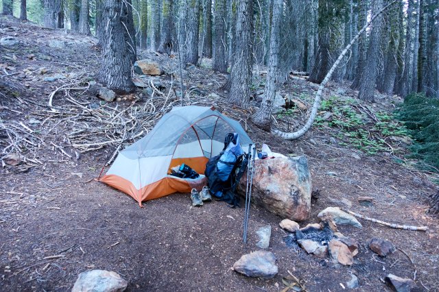
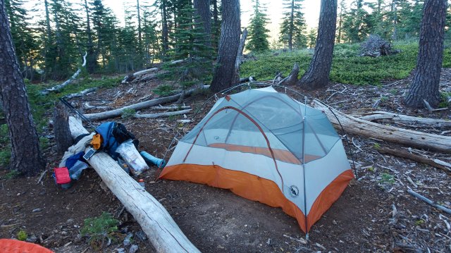
Tonight, though, we're camped at a saddle next to a jeep road around mile 1227--the last two miles were a Not Fun climb, with several steep little pitches to scramble up. At least we're on top, and that downhill tomorrow should be easy. We'll have to stop for water just once--there isn't much water in this section as well--and then we should be at the river enjoying a cool swim.
