Day 14: Lancaster PA to Hightstown, NJ
Sun 23 Jun 2024
Miles ridden today: 118 (from home: 3656)
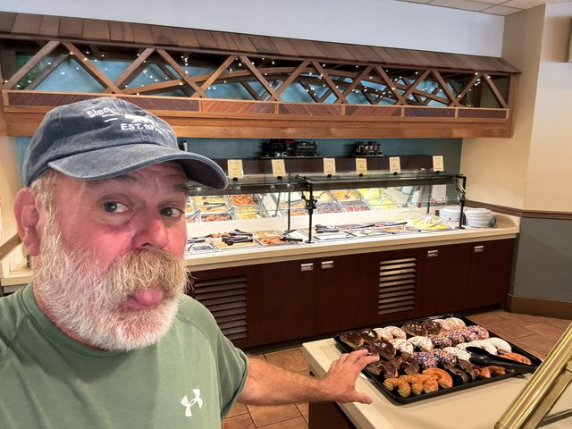
Found a breakfast buffet with train and got off the road early before the thunderstorms happened, so lots of time to write about a new topic other than what happened when I was in the saddle.
Today I thought I'd post about what's become my favorite scooter upgrade: a Garmin Zumo XT2 and the Garmin Tread iPhone app. I've heard a lot about "oh my phone already does that and I like Google Maps, and I have it a mount for my phone on my handlebars" or "I use CarPlay". That's all great, but Garmin has really thought out what a first class motorcycle UX should be--one that's glove friendly, one that works when the screen is wet, and one that's bright enough to read in direct sun, with both 'where am I going NOW' and 'where I want to plan to go tomorrow' thoroughly thought out.
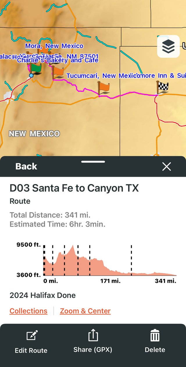
But first of all, a big yay. Garmin has ditched their PC-centric BaseCamp software for iOS and Android apps--no more connecting your garmin with a USB cable to transfer stuff! You can edit your waypoints and routes on your phone, save them up to Garmin 'cloud', and then the Zumo syncs the cloud stuff (via your phone's Bluetooth) for use when you're on the bike. The Zumo has a six hour battery as well, and a mounting cradle on the bike with power, so the device in use is wireless.
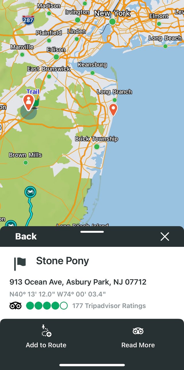
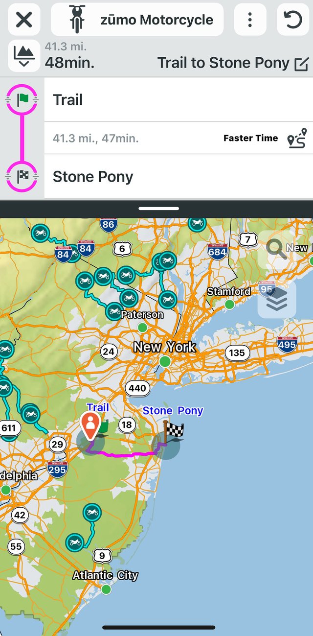
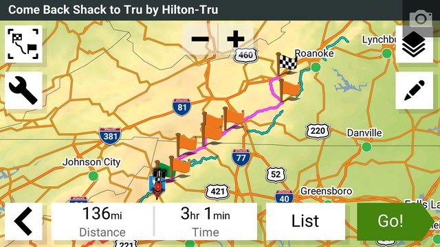
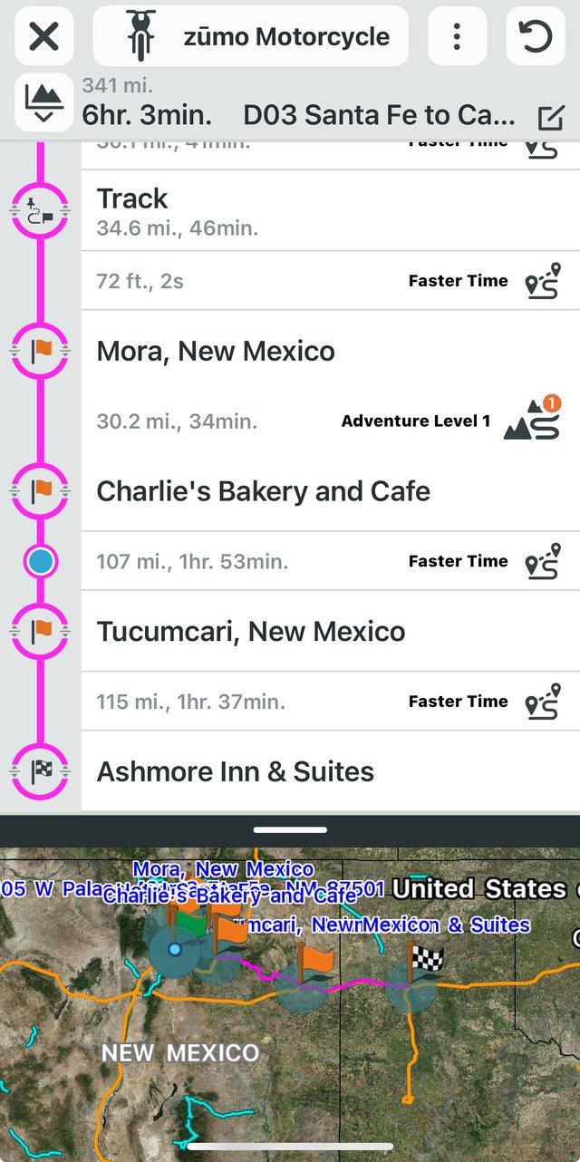
Anyways, random screenshots. I use Garmin Tread on my phone to plan tomorrow's ride just by clicking and/or searching on the map. I often start with where I am currently, search for a location, and add to the route. It's pretty much like using Google Maps, but I find it even easier like planning a route from where I am now to the Stone Pony in Asbury Park.
It's easy to rename the route, add additional stops and reorder them, insert "shaping points" to coerce the route down the roads I prefer to take... and then save the named route for later. The app displays some curated motorcycle-friendly roads as well for routing.
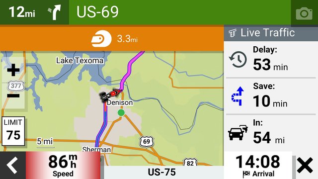
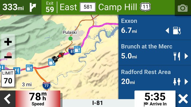
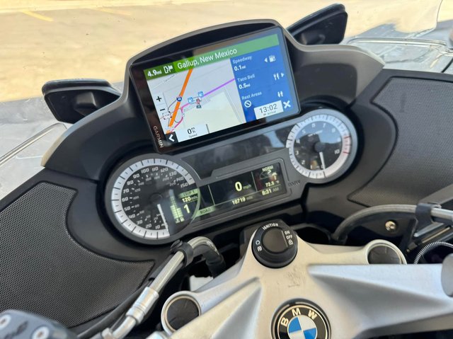
The Zumo will connect to the phone and sync automatically when it powers on (or you can manually trigger a sync). When I'm ready to ride I choose the route press "go". The Zumo calculates a route to get you from stop to stop either by fastest route or "adventure routing" if you want more twisty roads. When it calculates the route, the Zumo will get life traffic, and suggest reroutes if there's traffic ahead--again, it's connected to your phone so it gets live updates. You can also use satellite imagery (for free) if you want as you're navigating, but I usually don't.
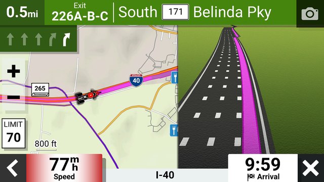
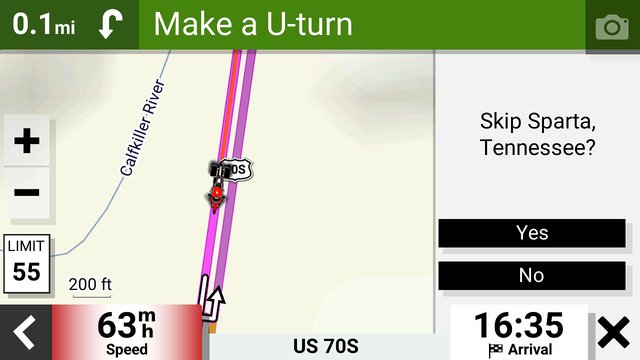
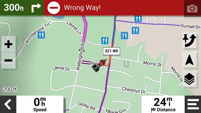
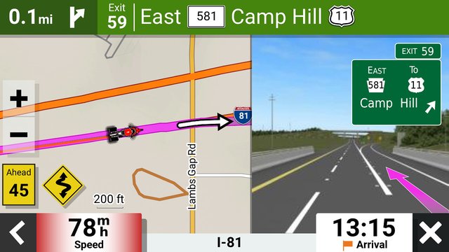
A few more spiffy features I've discovered: the Zumo tells you what lane to be in (like other nav apps), it tells you you're going the wrong way, and it gives a concise listing of "what's ahead" for a few categories that you can choose. If you've routed to something vague, like a city name, and have passed it... the Zumo will ask you if you want to skip it, rather than try and force you back by continuously rerouting you back. At the end of a route, a summary screen is displayed.
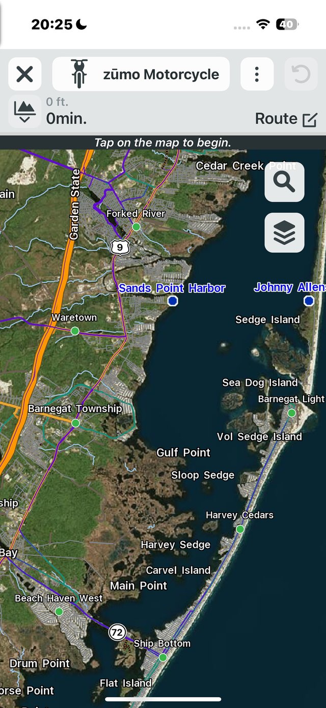
If you don't want to make fancy routes, you can tap on the screen, or search for wherever you want to go--Barnegat Lighthouse, Max BMW in New Milford CT--and then say "route me there" and an instant route is created... or you can save it as a waypoint for future use. Pretty easy.
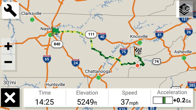
Lastly, there's a Track Recorder button. This is fully separate from the route navigation--just turn it on in the morning, and off in the evening, and you'll have a full recording of where you've been (and some stats like max speed and acceleration/deceleration). When you stop the track recorder, pressing Save will upload it to your Garmin cloud account (which is really called Garmin Explore, but I just call it cloud storage).
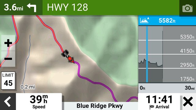
So why all this? The Garmin has particularly helped me in crowded cities with small blocks and one-way streets (Lancaster PA), unusual freeway interchanges (Texas), and toll road avoidance (again, Texas) or not (E-ZPass states). It's also helped me manage my time, so I don't say "Oh 60 miles on the Blue Ridge Parkway is an hour".
And the Zumo also tracks all of the speed limits... so I'm much more aware of speed traps when the limits drop from 65mph to 35mph.
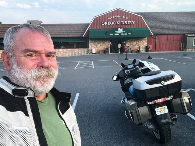
So that's about it. It's kinda hard to explain, so here's a heap of screenshots about all of that. And a few of pics of me enjoying the trains and breakfast buffet at Oregon Dairy outside of Lancaster PA.
