- Date: Sunday June 28, 2015
- Miles hiked: 9.34 PCT
- Miles covered: 1328.82 to 1338.16 PCT
- Weather Report: Low 78, High 85 (while hiking in the afternoon). Like yesterday, sunny and hot with very few breezes, and a touch humid. Most of the day was hiking in the mid 70s to upper 80s with half shade.
- Wildlife seen: Chipmunks and lizards
- Mood of the day: Going through the motions
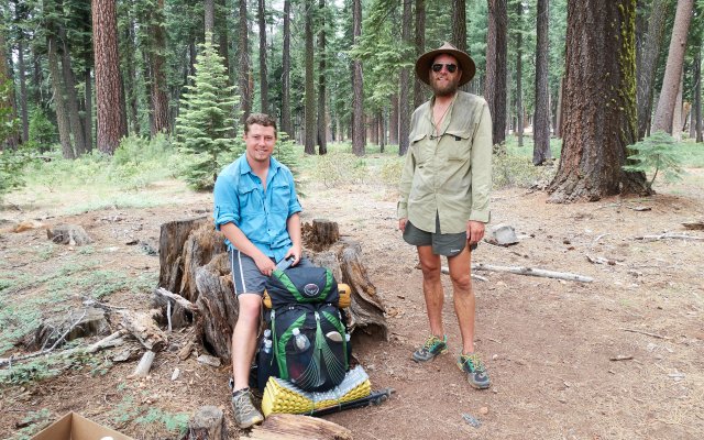
Well, there isn't much to write about today. All three of us slept in until 8am, then finished off the turkey and cheese sandwiches as we packed. And all three of us bought too much food--it's only four days to Burney, our next stop, but we all bought a week's worth of food. Oh well.
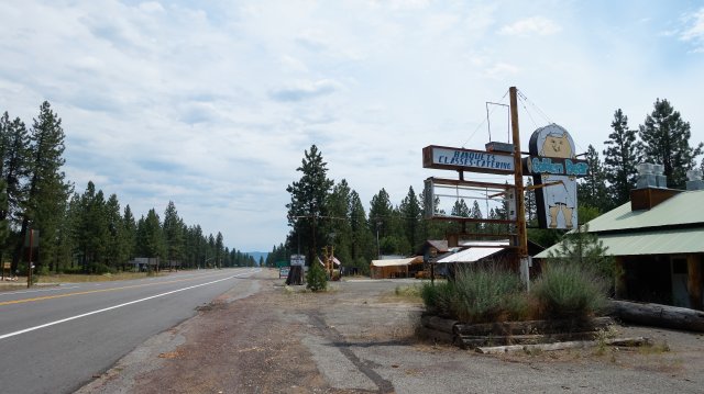
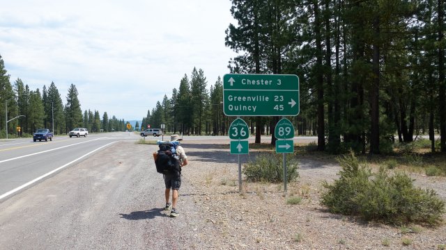
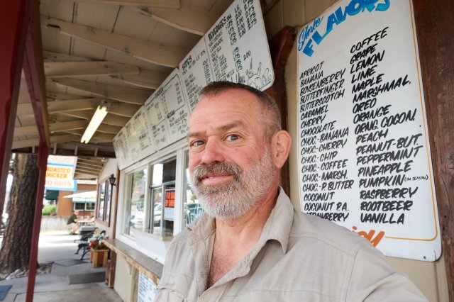
The Cedar Lodge was comfy, but we did need to get into town for more stove fuel, so we walked out to the road and started walking east--only three miles. Just past the highway 89 junction a local in a truck pulled over and asked if we needed a lift, and yep we took it. He had just finished church, praise the Lord, and dropped us off at the Pine Cone Frosty.
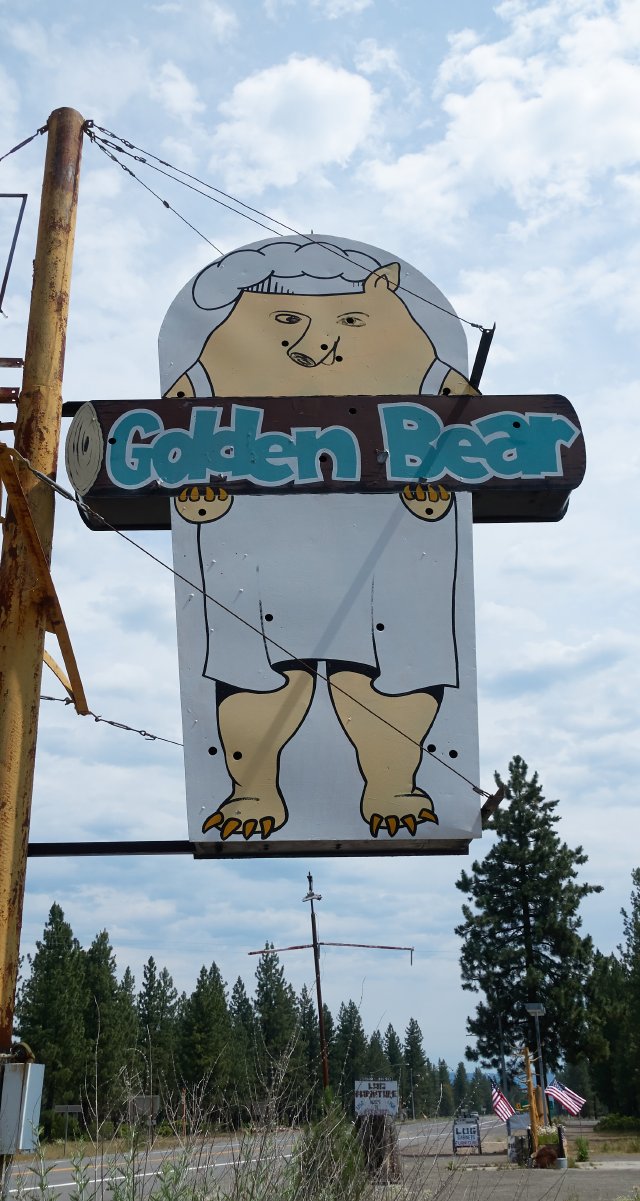
Junior and I camped out there with burgers and shakes while Sage walked a few minutes down the road for fuel. We ran into Treble again, who had stayed the night on the lawn of the Lutheran church a few blocks away. He's staying another night to rest up. This is his second attempt at a thru-hike: on the first in 2012 he made it from the Mexican border to Carson Pass, some 900 miles, but developed such severe plantar fasciitis that he had to call it all off. This time he's taking it slower and easier so he can make it to Canada.
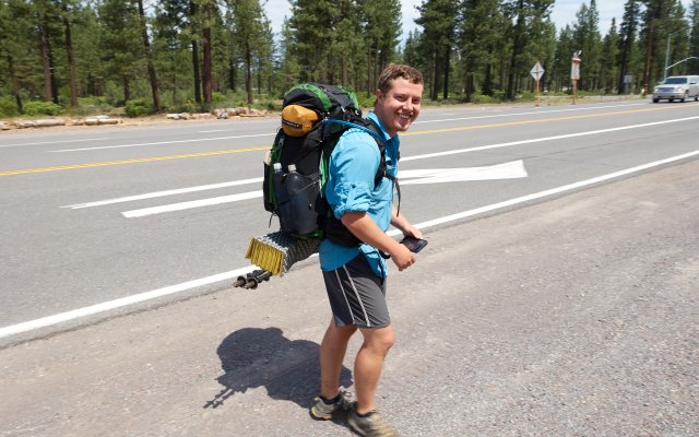
Sage wandered on back, had some eats and asked for cardboard for a hitching sign, then the three of us stood across the street in front of the laundromat and started the tedious task of asking for a ride. It took five minutes for the first ride (Sage), but the bitchin' El Camino had only room for one. Junior and I waited another 20 minutes before getting a ride with a local man and his son and their very tidy dual cab truck, and we chatted about military stuff for the ten miles to the trailhead. The man's wanted to do the PCT for years, but sniff he's stuck in his career.
And it was 1pm. We rifled through the hiker boxes at the trailhead again (Sage had a look yesterday); someone had refilled them and in the coolers there was cool water and a few sodas and melting ice. I snagged a mostly full fuel canister from the big dry hiker box, though I'm not doing much cooking with this weather; the last thing I want to do after a dry and dusty and sweaty day is spend 10 minutes making hot food. There was a dress shirt in there (uh, ok, but maybe it'd be interesting to try and get a hitch in!), some junk novels, and a Maya Angelou biography that Sage decided to pick up; some different reading. We left the ramen and oatmeal and five small bottles of Pantene shampoo and eyeliner and all sorts of other junk that hikers didn't think they needed on the trail anymore, though I can't imagine anyone needing eyeliner unless they're really that vain. I go many many days without even looking in the mirror, so sometimes when I take selfies it's a shock to see how grubby I look.
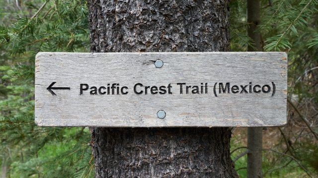
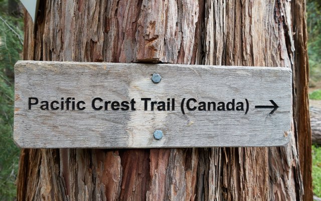
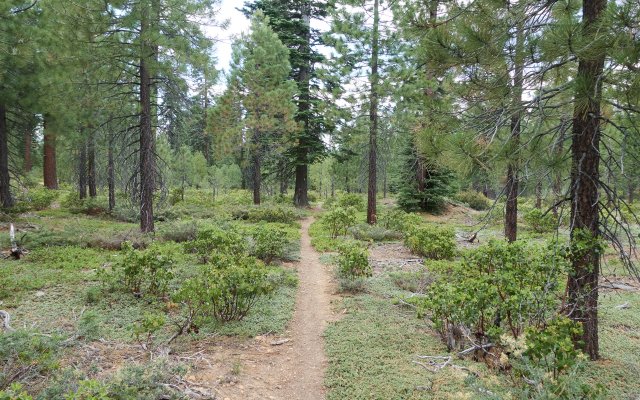
From the trailhead on the north side of highway 36, the PCT went through a beautiful park-like forest of fir and pine that was a pleasure to walk through. My new shoes felt great--the old pain points were gone--but two new pain points soon emerged, namely my two pinky toes. Have my feet become wider? Are these shoes not stretched out yet? Are they not tied the same? I fiddled for many miles before finally taking out the insoles, which made things a lot better all around, and when we got to camp I put them back in and felt how the shoes fit--too tight in the toes, really--so I hacked away most of the toe part of the insert, and figured I could always reattach the cut pieces with Leukotape.
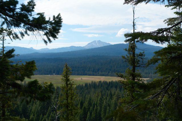
The landscape after a few miles of forest changed and become drier, just little bits of pumicey gravel and sand, with lots of chest-high manzanita and scattered sugar pines and fir trees. It reminded me of the central Australian desert, oddly enough, with the brush and the scattered casaurina trees and the hot silvery dusty sky.
We came down off the plateau for the last two miles, descending to the north fork of the Feather River and our camp, a decent enough and shady spot. The river was broader than I thought--these "rivers" are often just a couple of feet across--but this one was a good thirty feet, though shallow without a really good place to swim. Since we got in at 6, with three hours of light left, I decided a half-hour nap before dinner would be good. I really couldn't get motivated after the nap to cook dinner, so I ate a bar and a banana and an apple, wrote a bit and will be asleep soon.
Tomorrow should be kinda interesting: we'll go to Boiling Springs Lake in the morning, stop at the Drakesbad Ranch for the lunch buffet at noon, then head around the east slopes of Mt Lassen and camp. We are most definitely out of the Sierra now, and are crossing this high volcanic desert, and we'll begin arcing west towards the Marble and Siskiyou Mountains west of I-5. Those have always fascinated me, being remote and unknown, and I'm looking forward to getting there.
